History
Lansing’s Urban River became the prime focus of civic leaders in the 1960’s. By the early 1970’s a specific Waterfront Master Plan and been prepared, which established the first formal policy for the continued acquisition and redevelopment of targeted central city properties.
Implementation of the Waterfront Plan began with acquisition of deteriorated industrial and warehouse properties along the riverbank. Purchased at a cost of $2,000,000, twenty-seven parcels within the central city had been transformed, by 1976, into Riverfront Park.
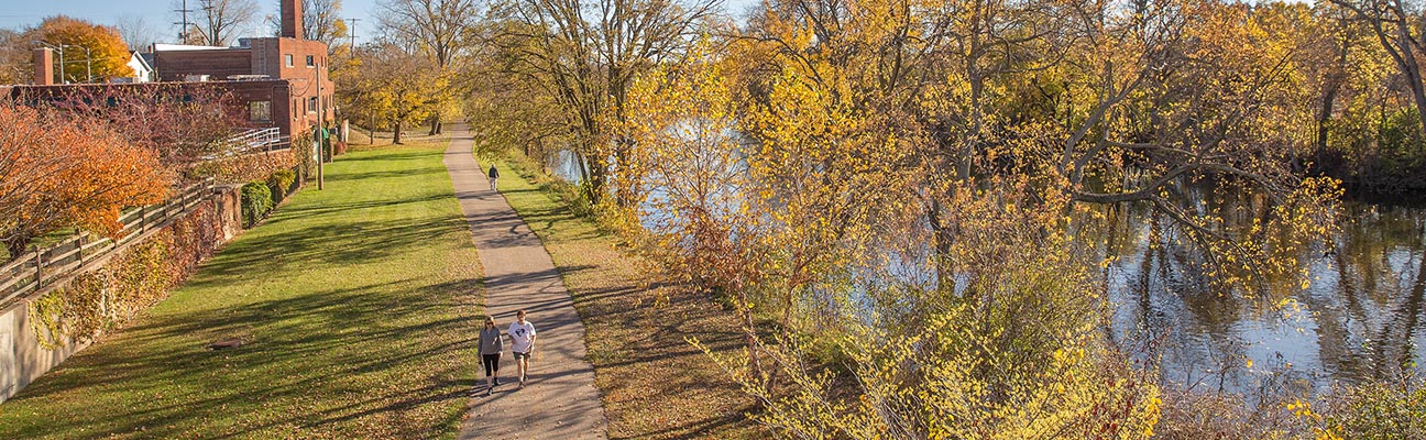
The key feature of the park is the 2 ½ mile continuous Riverfront Trail which interconnects all river-oriented features in the central city.
The first section of RiverTrail opened in 1975.
In 1981 the Riverwalk received the esteemed designation as a National Recreation Trail by the United States Department of the Interior, which referred to it as “….a unique central city trail along a Waterfront….”
The longest extension took place in 1983. This one-half mile section was built on an overgrown riverbank railroad bed and was, at that time, the southern-most reach of the River Trail.
1985 construction switched the route to the Red Cedar River where it was incorporated into the new Potter Park and Zoo Master Plan. From here, the pathway continued the final 1 ½ miles to the MSU Campus in East Lansing.
In 2004 the Mid-Michigan Environmental Action Council (Mid MEAC) received a grant from the DALMAC Bike Tour to assess the use and users of the Lansing River Trail. The survey was conducted from July 17 through September 16, 2004.
Observation points for this survey were Clipper Street, Aurelius Road, Pennsylvania Avenue, River Point Park (western spur), Impression 5 and Turner-Dodge. During the study period, 495 surveys were distributed, with 354 (72%) completed and returned. Those not responding were most likely to cite a lack of time, training and couldn’t stop or already completing a survey and not wanting to do a second.
Observation highlights showed the LRT had 72,040 estimated uses May 1 through September 30, 2004, with 64% on weekdays and 36% on weekends. Adults (18 and over) accounted for 86% of the uses and children for 14%. Of the adult uses, 49% were bicycling, 46% were walking/running and 5% were inline skating. For children, 62% were bicycling, 34% were walking/running and 4% were inline skating.
Use highlights from the surveys showed most (65%) LRT uses were by Lansing residents, with 15% by East Lansing residents and 29% from elsewhere. For adults, males accounted for 57% of the uses and females for 43%. One-third (33%) of the adult uses were by people who were 50 and over, 39% were by those 35 to 49 and 28% were by those 18 to 34. More than half (55%) of LRT use was done without driving a vehicle to it. Approximately half (48%) of the uses were by people that lived two miles or less from the trail. Eighty-four percent of uses were for two hours or less and 93% were rated as satisfactory experiences.
Distinct user highlights provided on an average, distinct visitors used the LRT 10 time per year and 5% were disabled.
Slightly more than half (54%) of LRT uses were by those who did not drive a vehicle to reach the trail. While more than half (60%) lived three miles or less from the trail, many who work in Lansing or East Lansing and commute used the trail during the work day.