Flood Status
The data on this page is updated every 15 minutes with the assistance of river monitoring gauges provide by the USGS. The monitoring stations are not located at the exact locations where the trails typically flood so blockages such as a log jam, can cause this chart to be slightly inaccurate. It is, however, usually fairly close. If the numbers indicate the trail is close to being flooded (+/- .25 ft), you should assume there is a chance of some water over the trail.
Hero Image
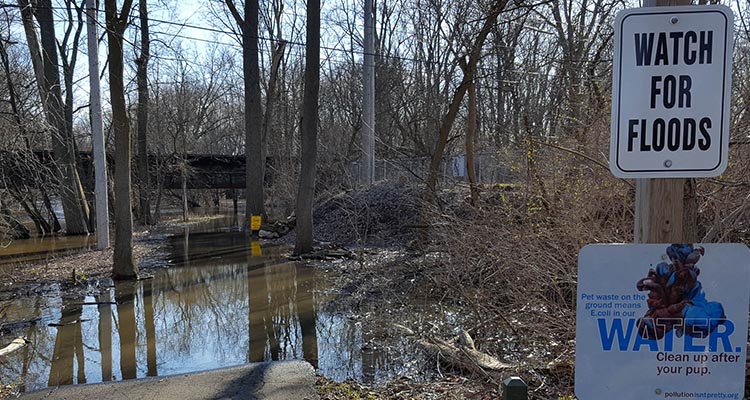
Image