⚠️
Monitoring stations are not located at the exact flood points on the trail — a log jam or other blockage can affect readings. If levels are within ±0.25 ft of a threshold, assume flooding is possible.
Flood threshold (4.0 ft — Kalamazoo St Underpass)
Other flood points:
4.5 ft — Railroad Underpass (between Clippert & Aurelius)
6.5 ft — Potter Park at Aurelius
5.75 ft — Most lower areas
Flood threshold (9.5 ft — Railroad Underpass)
Other flood points:
10.5 ft — Saginaw Underpass
10.0 ft — Most lower areas
Flood threshold (3.5 ft — I-96 Underpass)
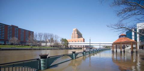
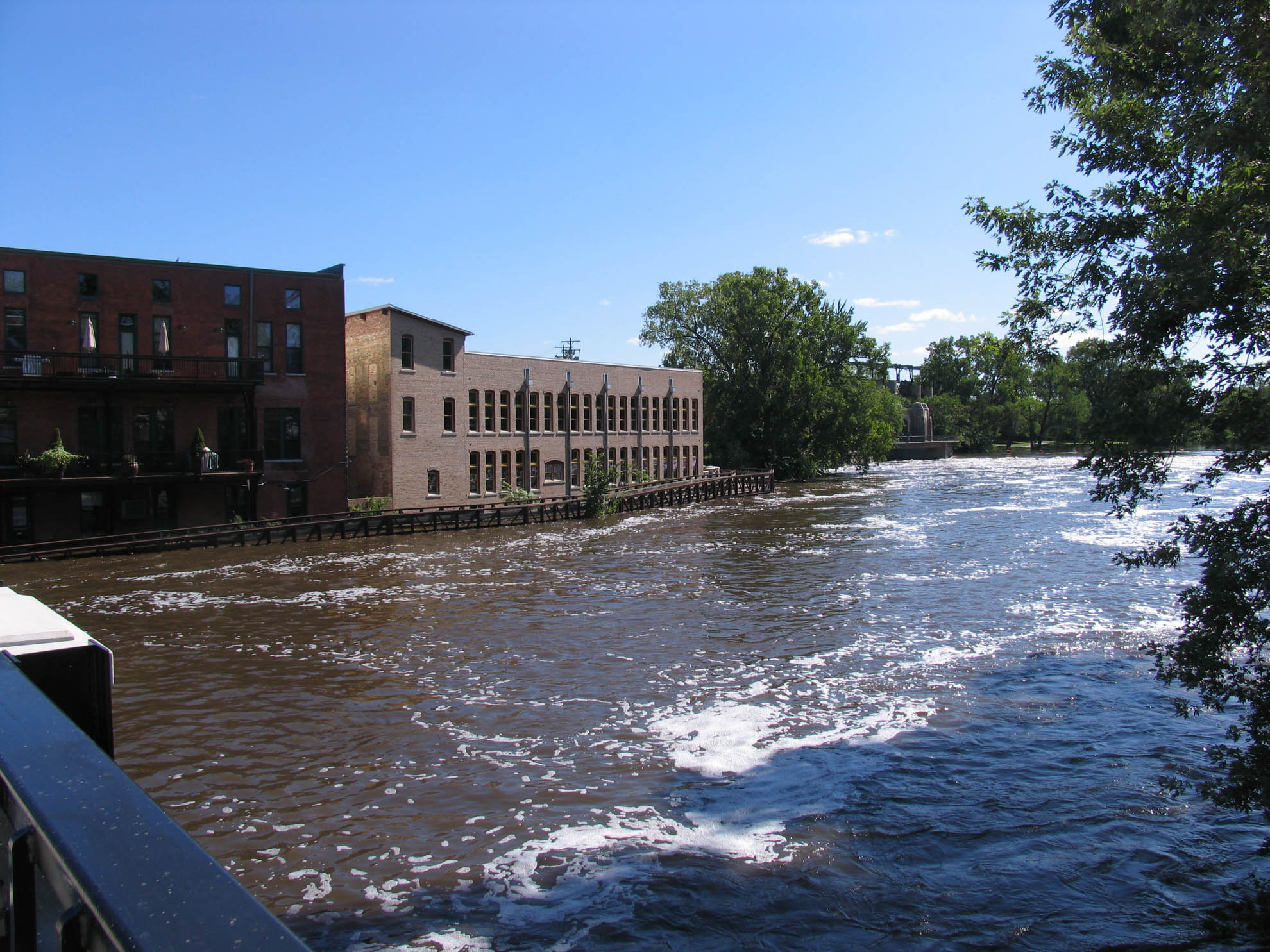
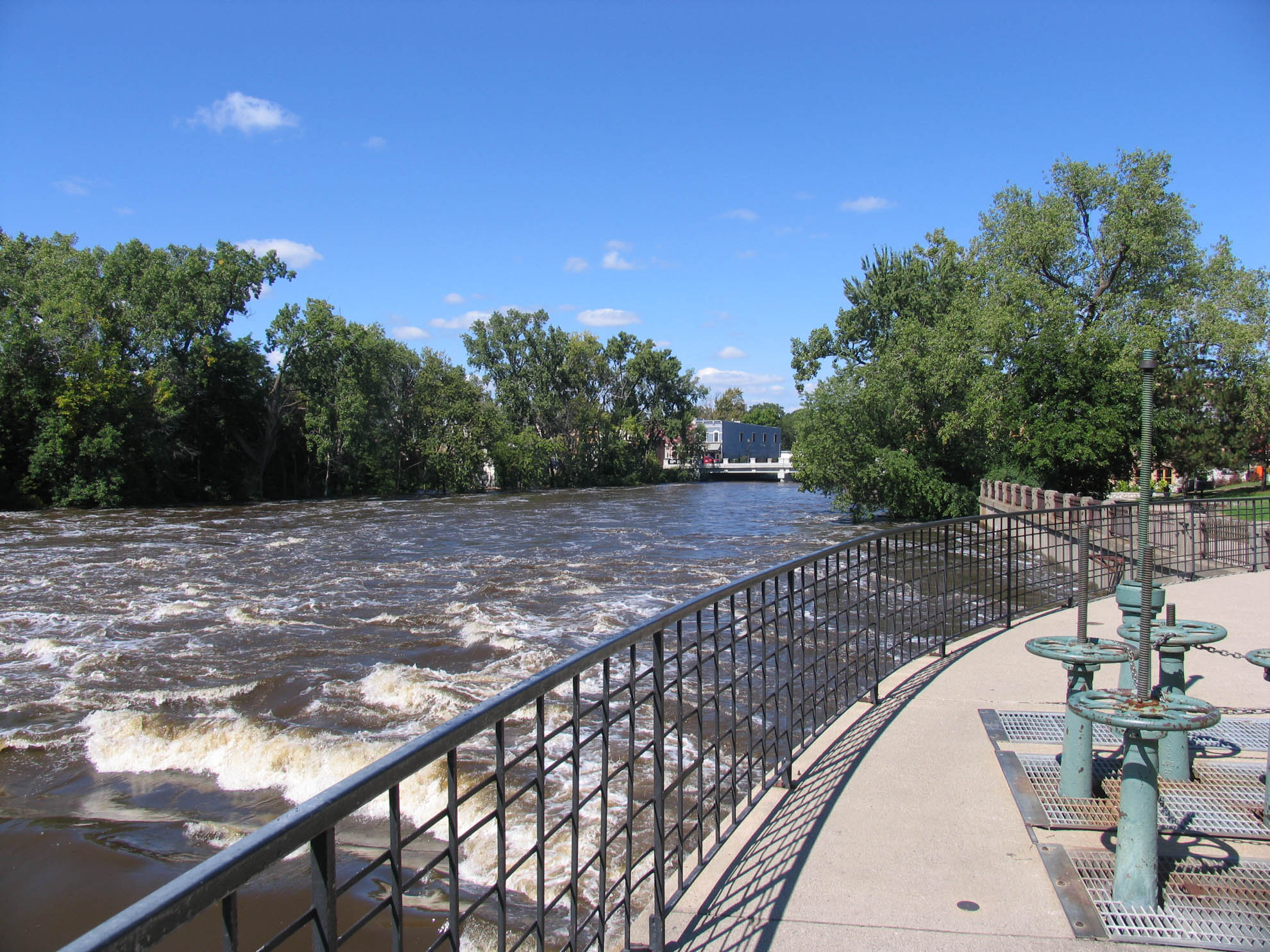
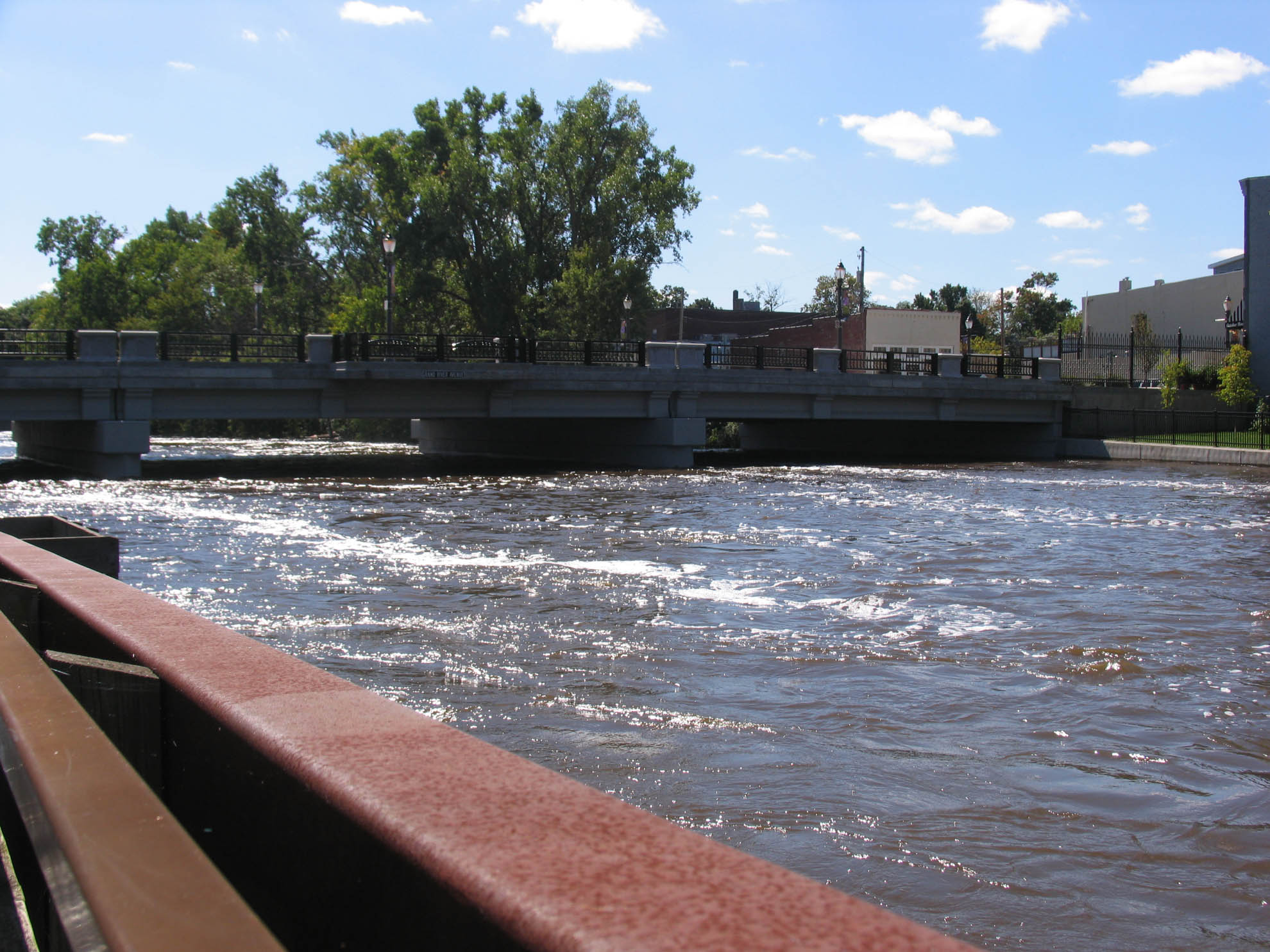
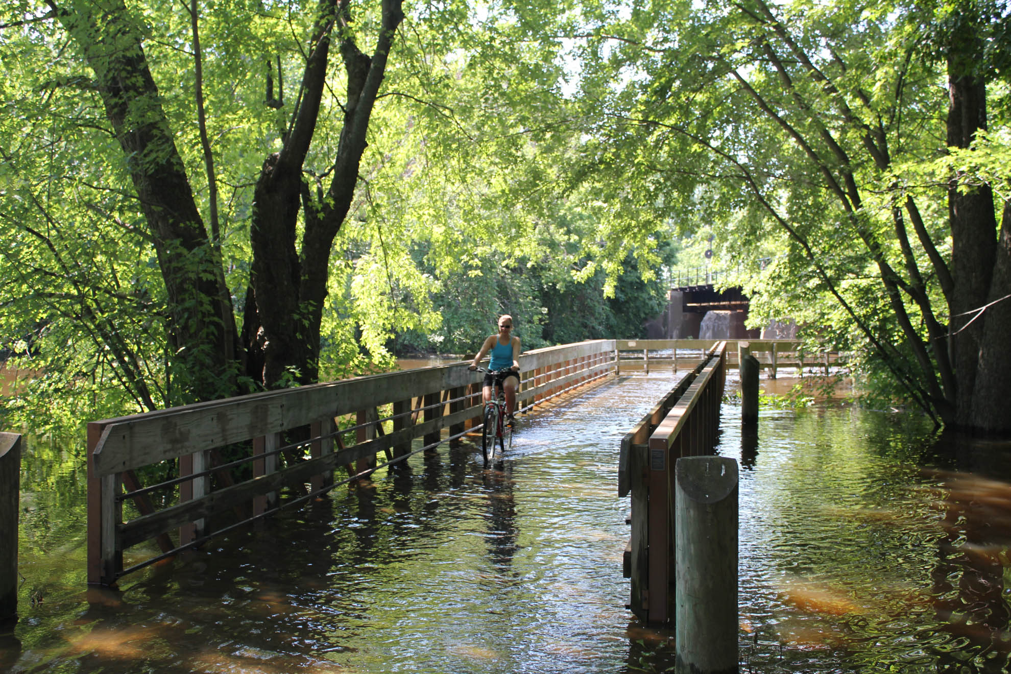
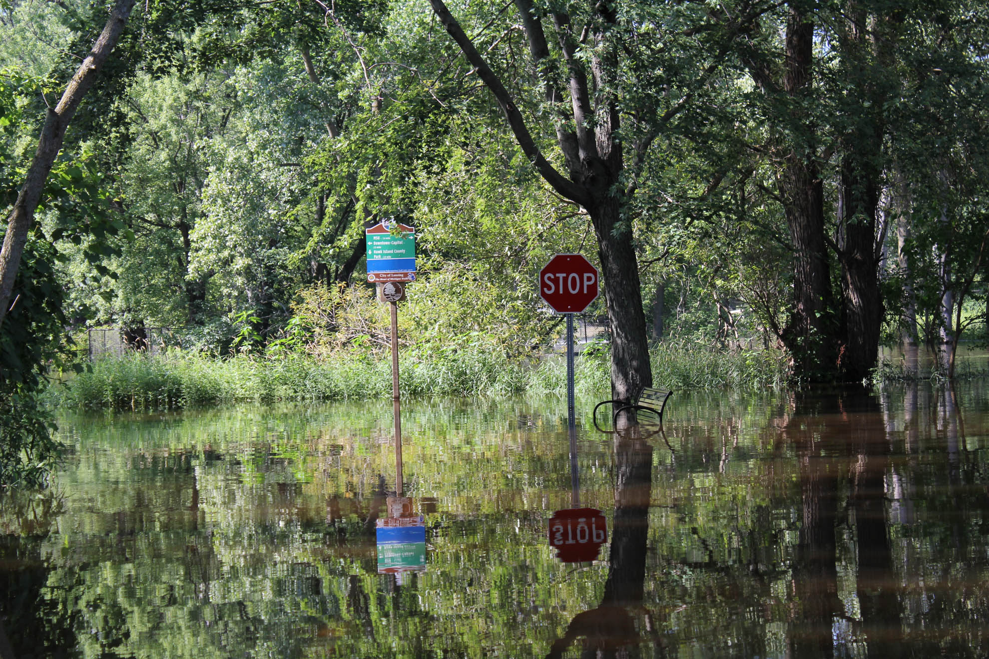
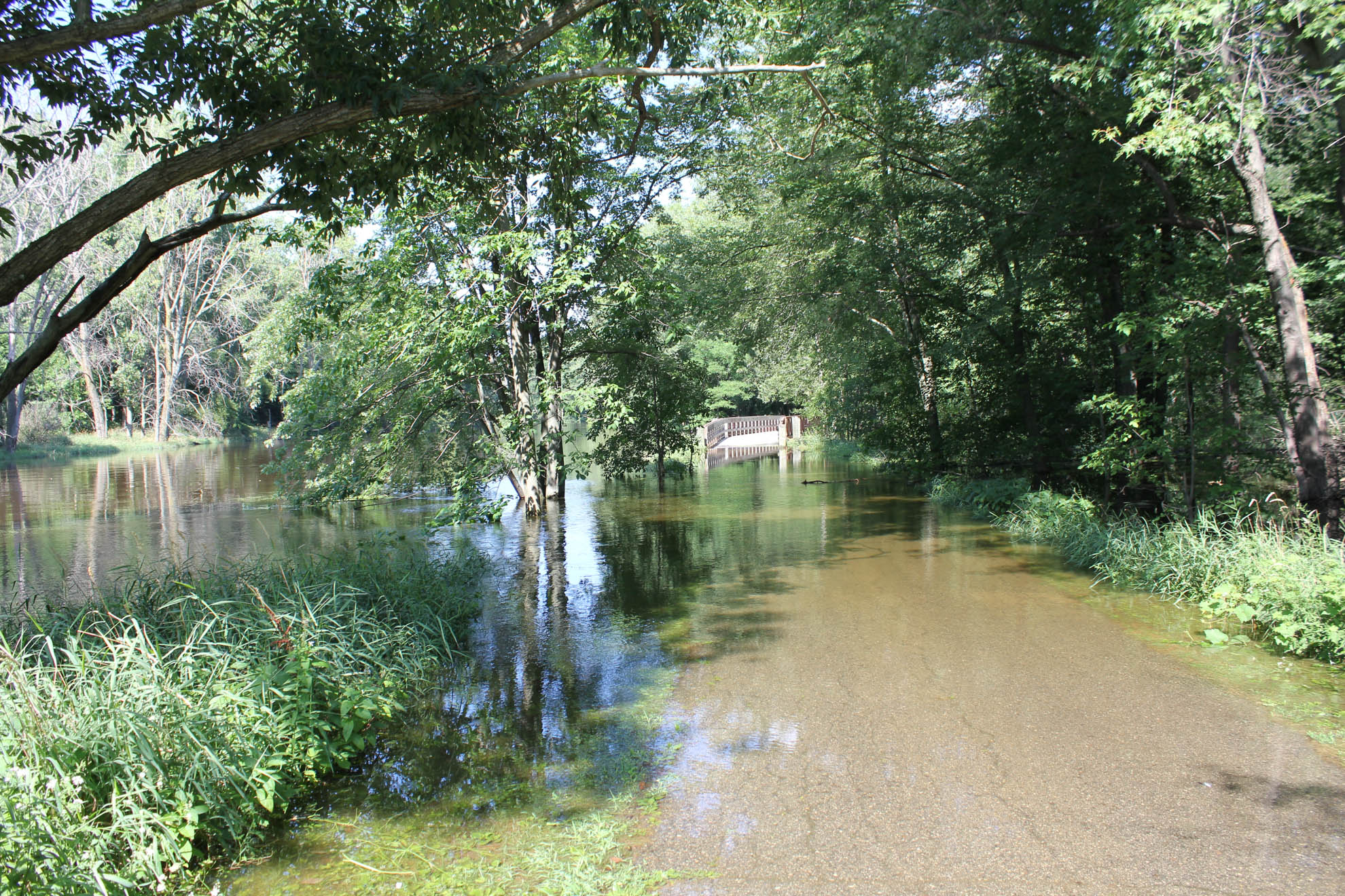
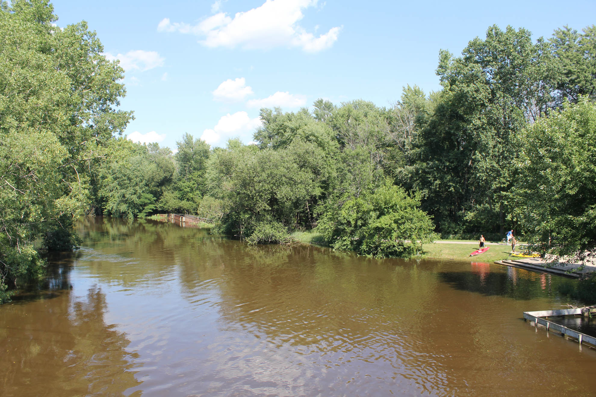
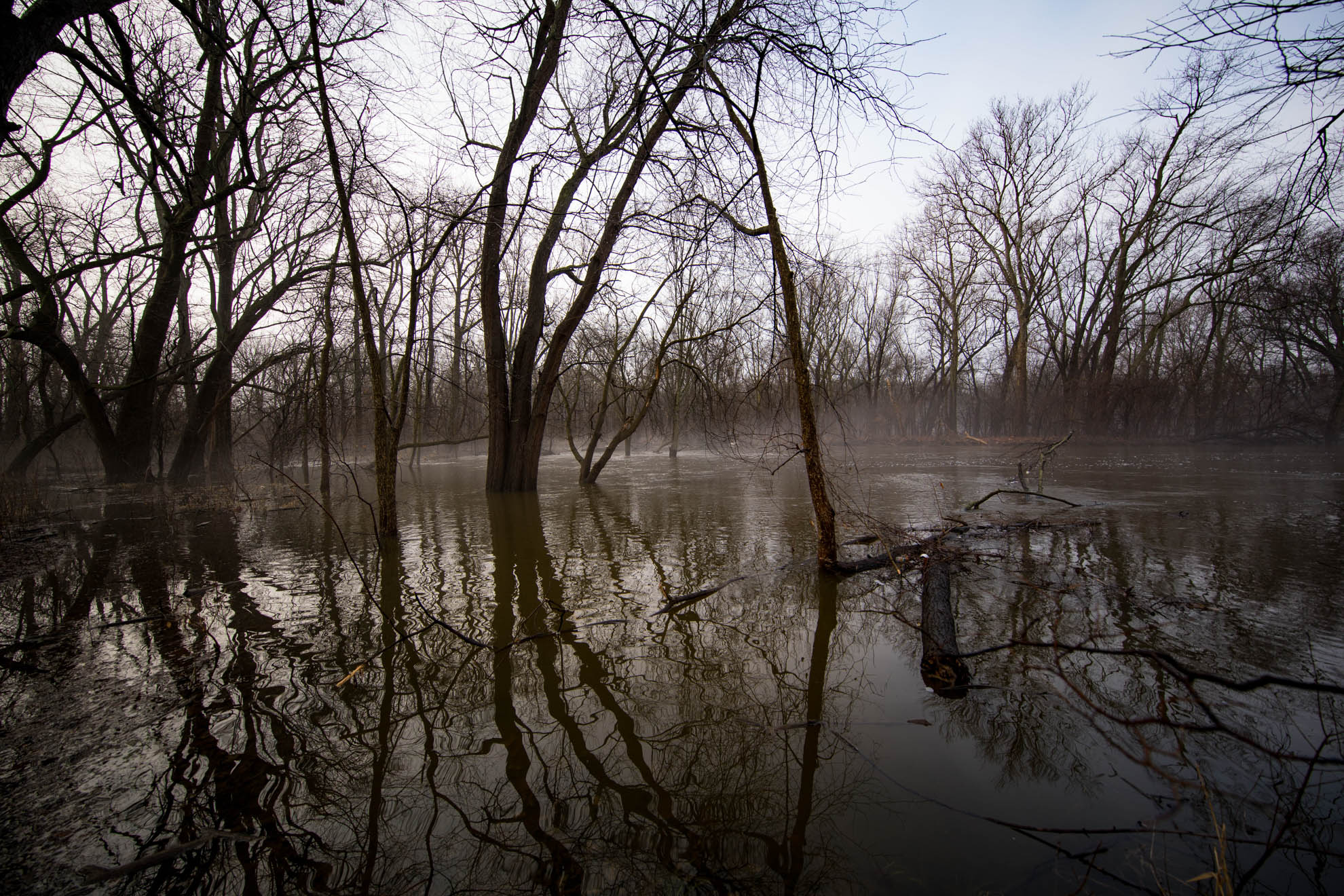
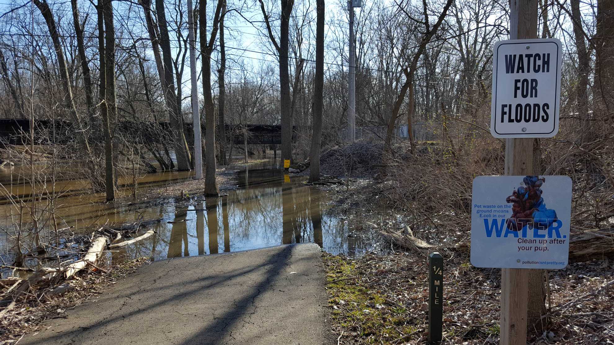
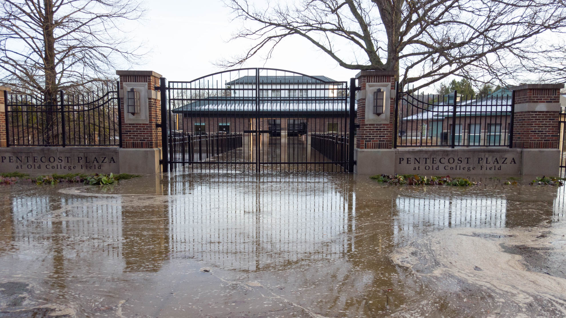
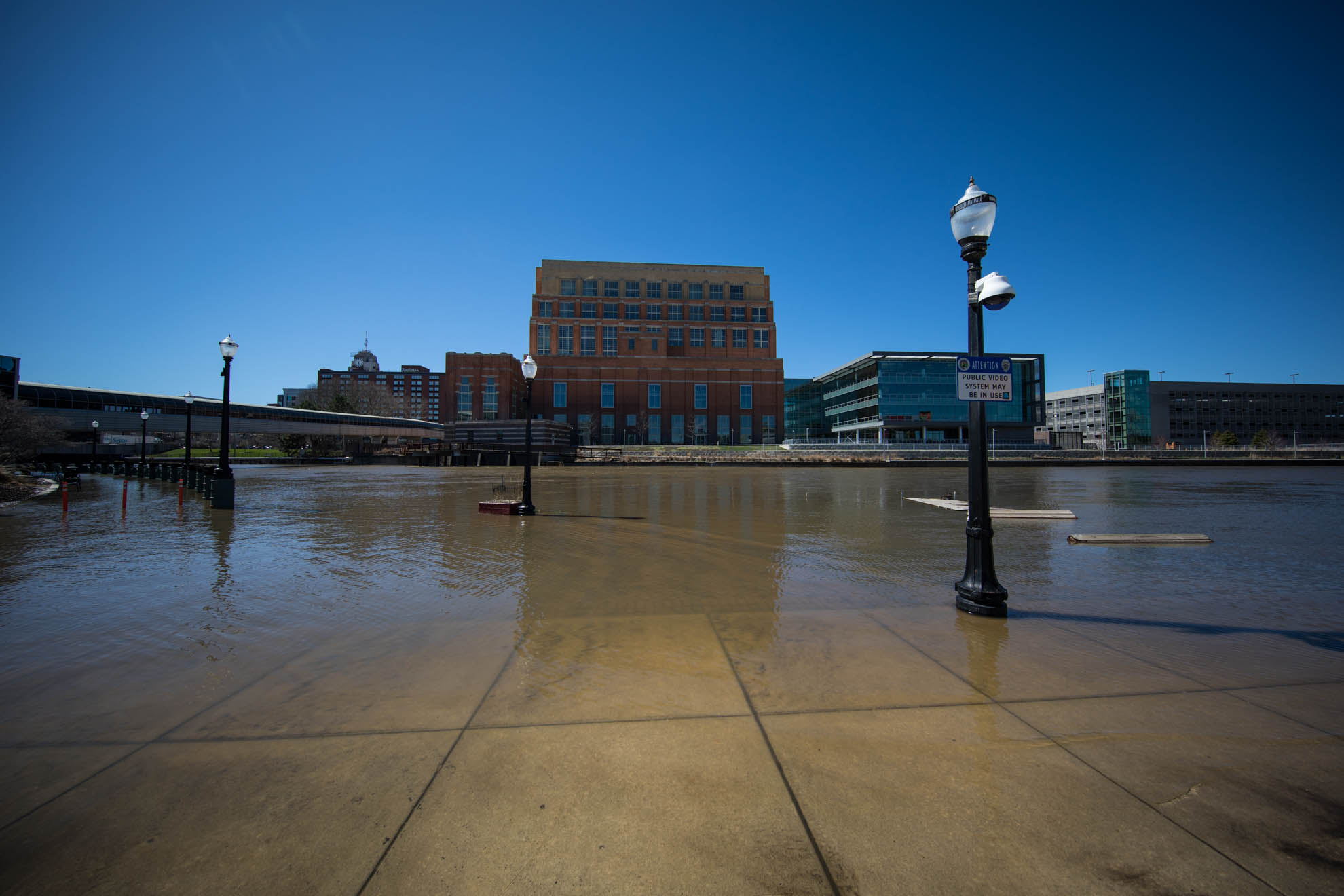
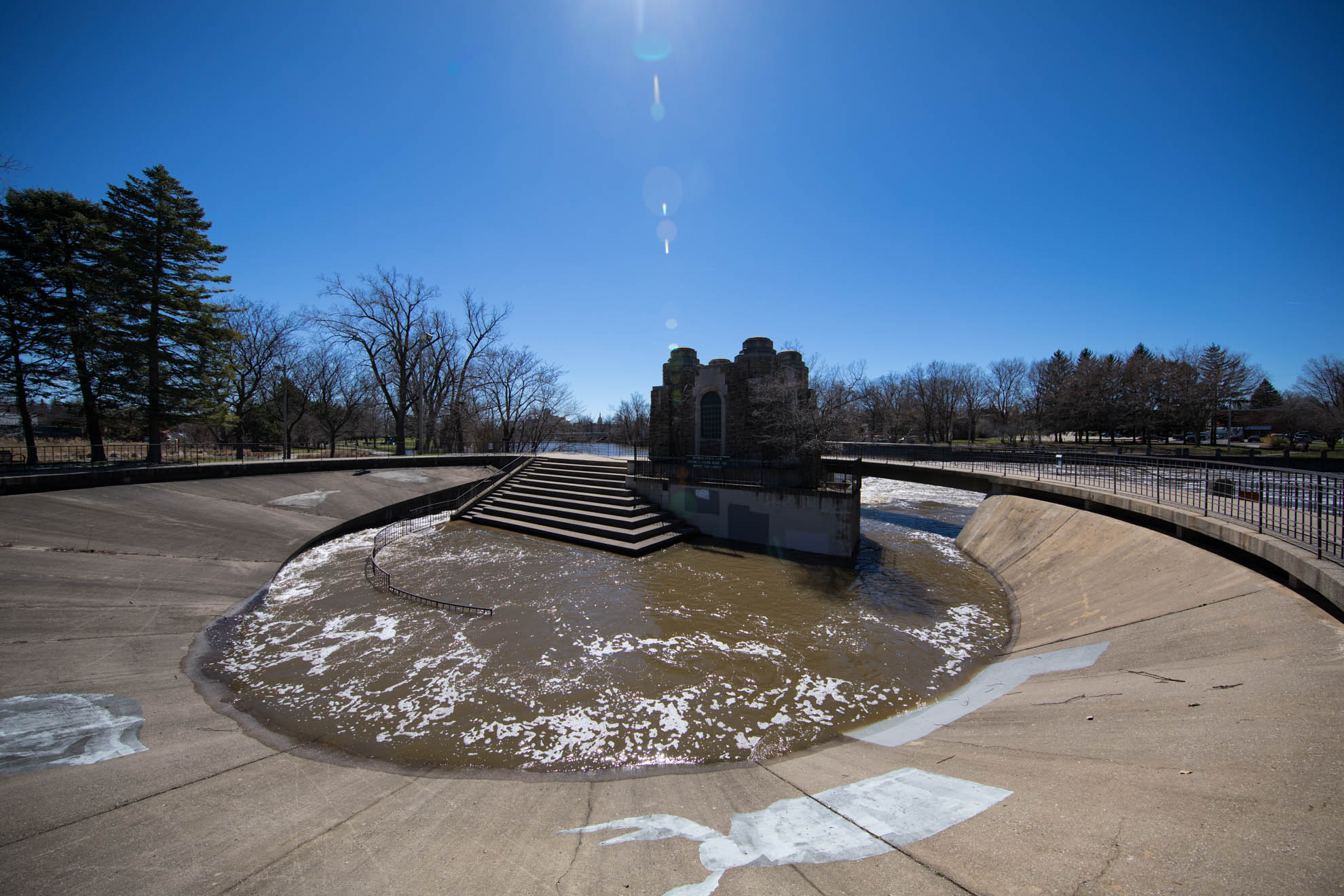
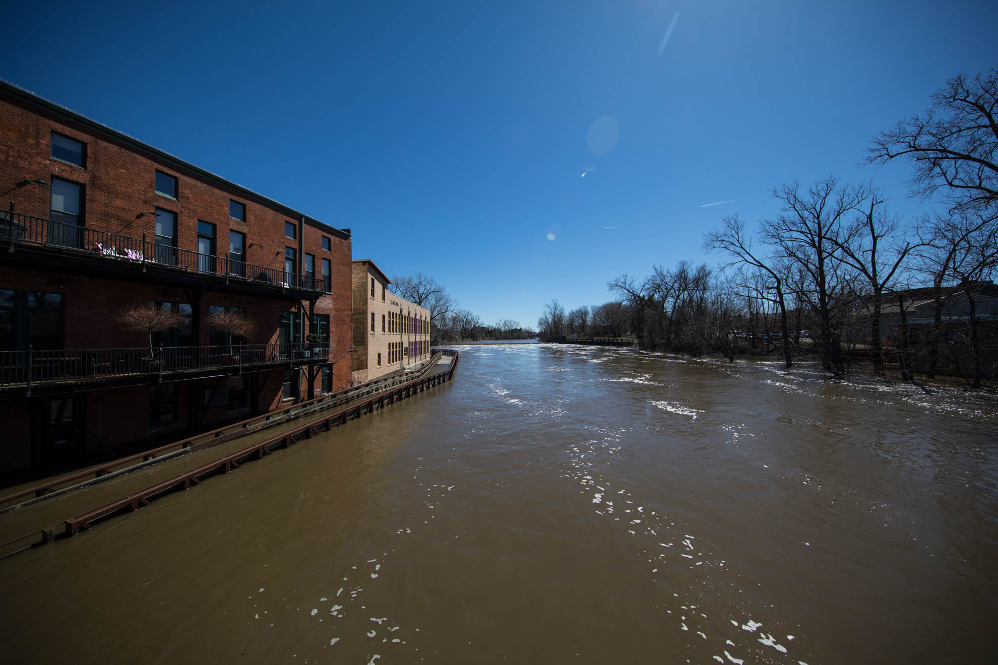
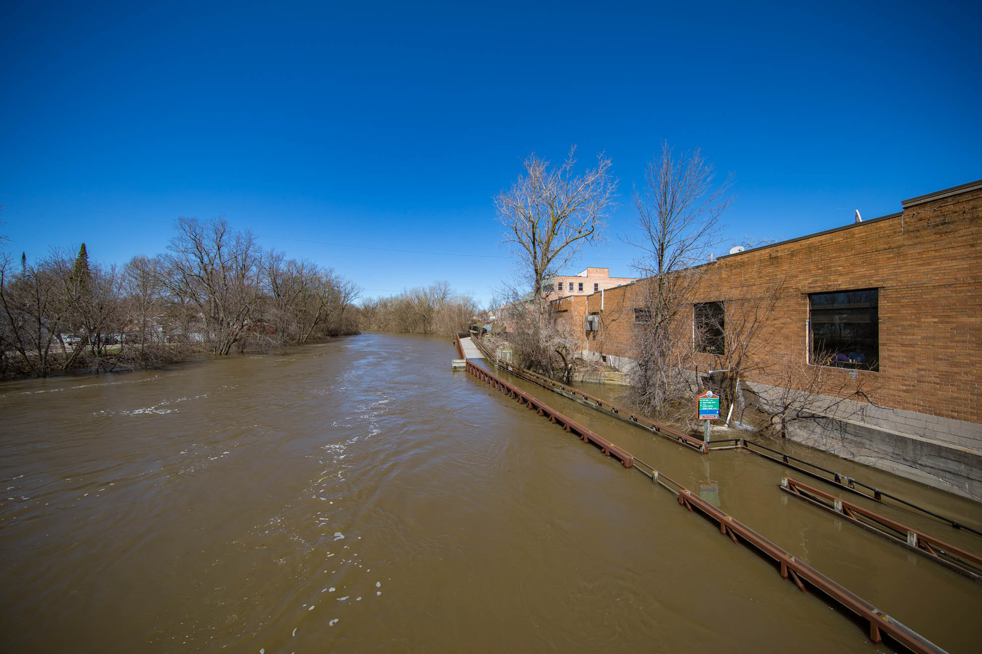
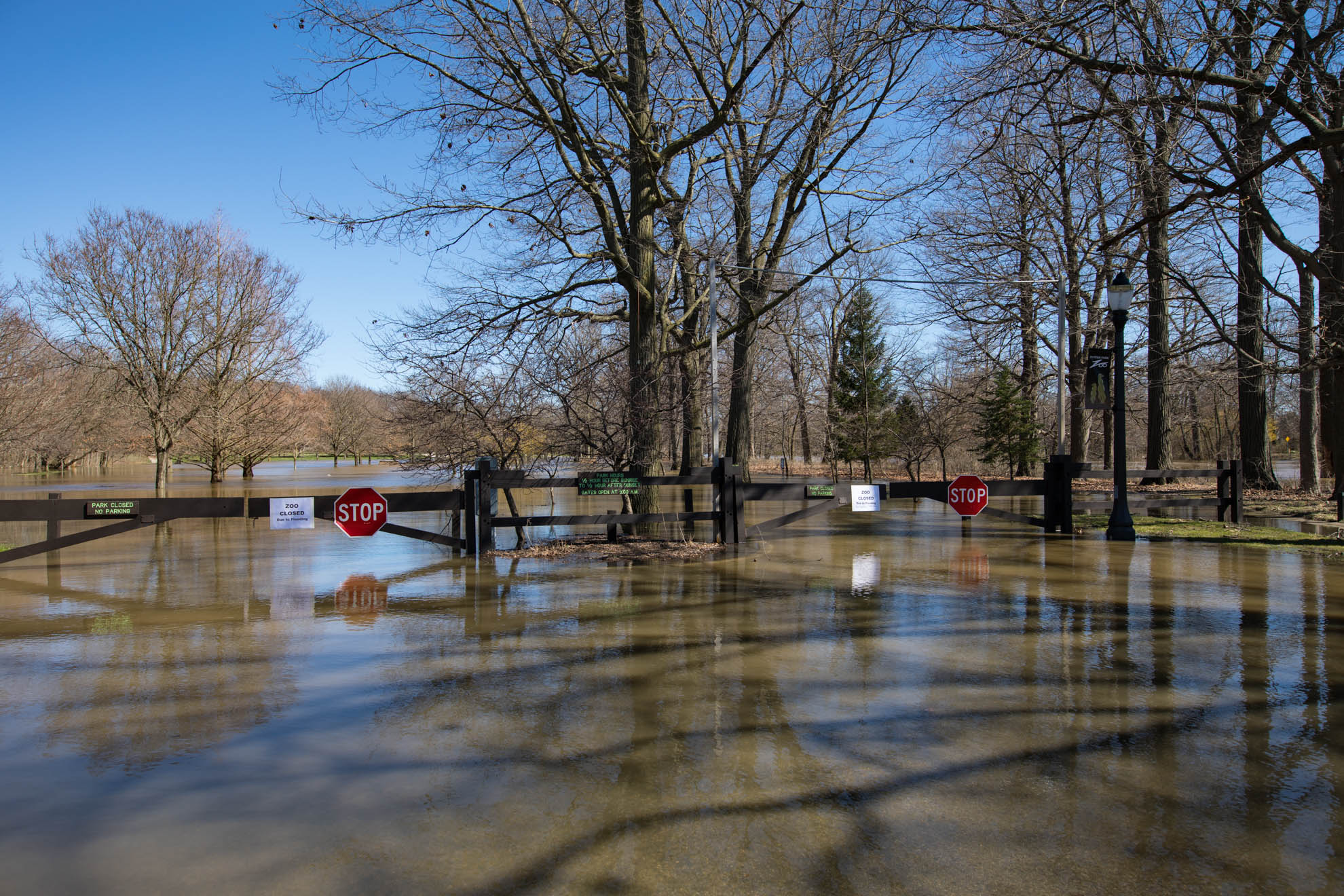
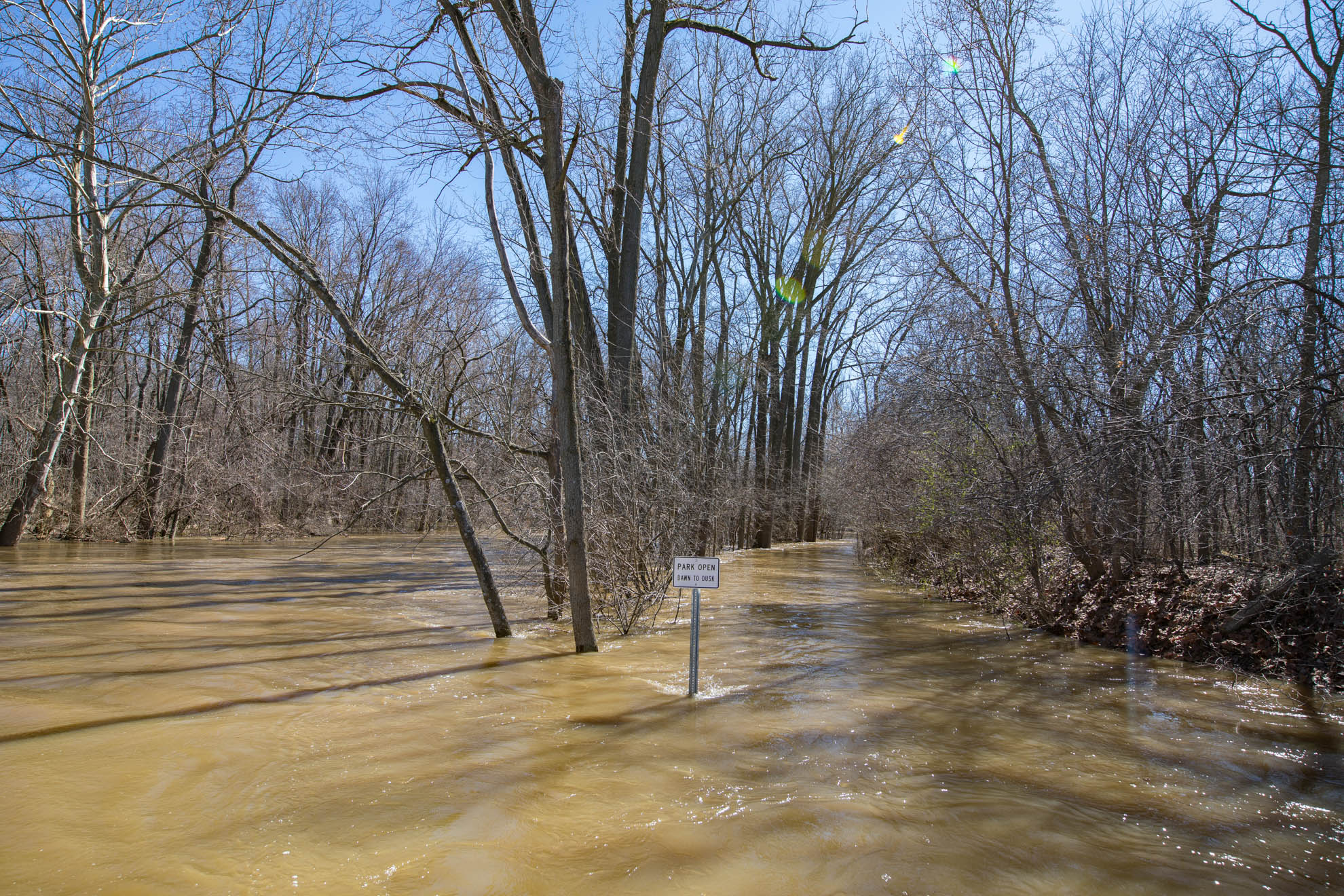
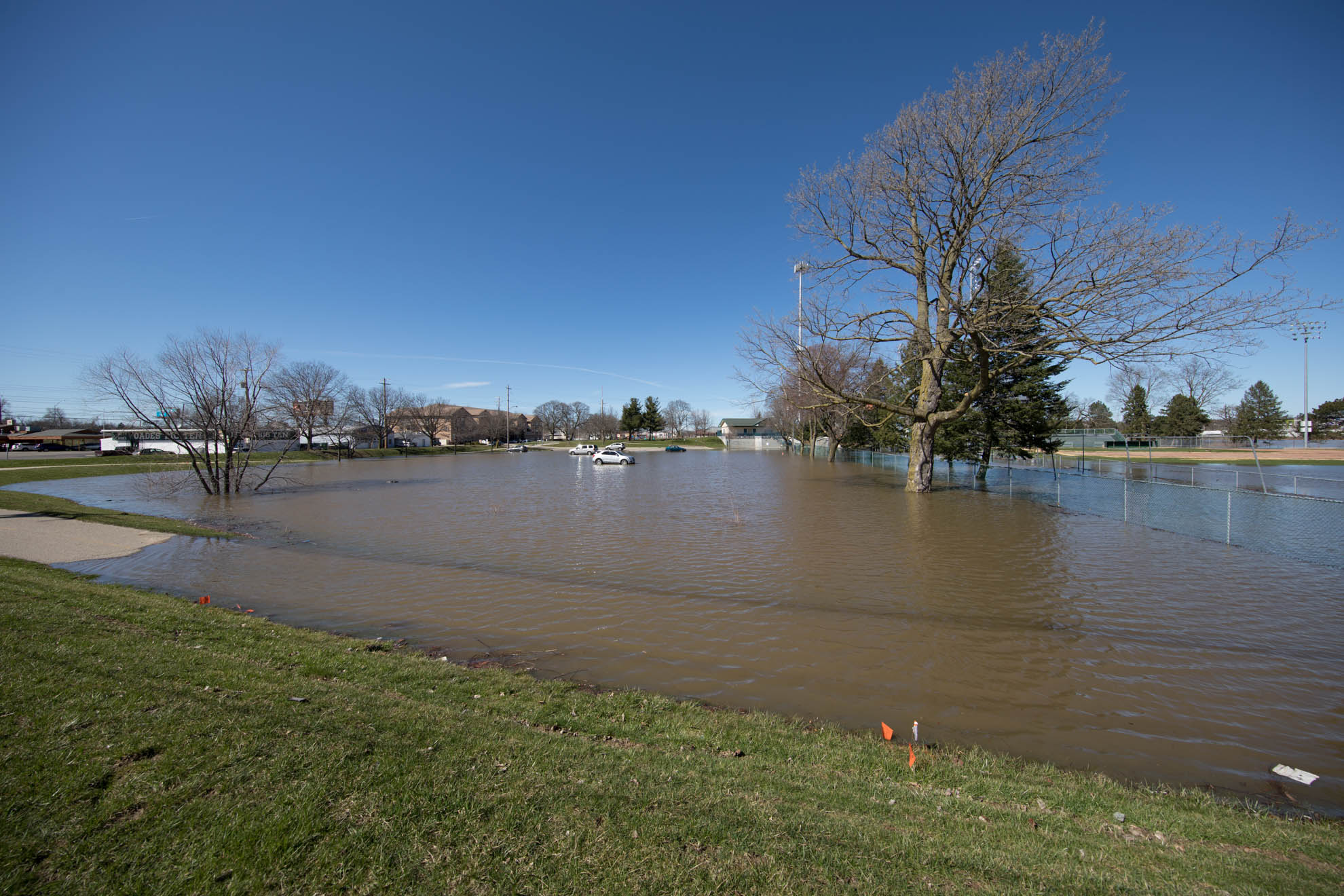
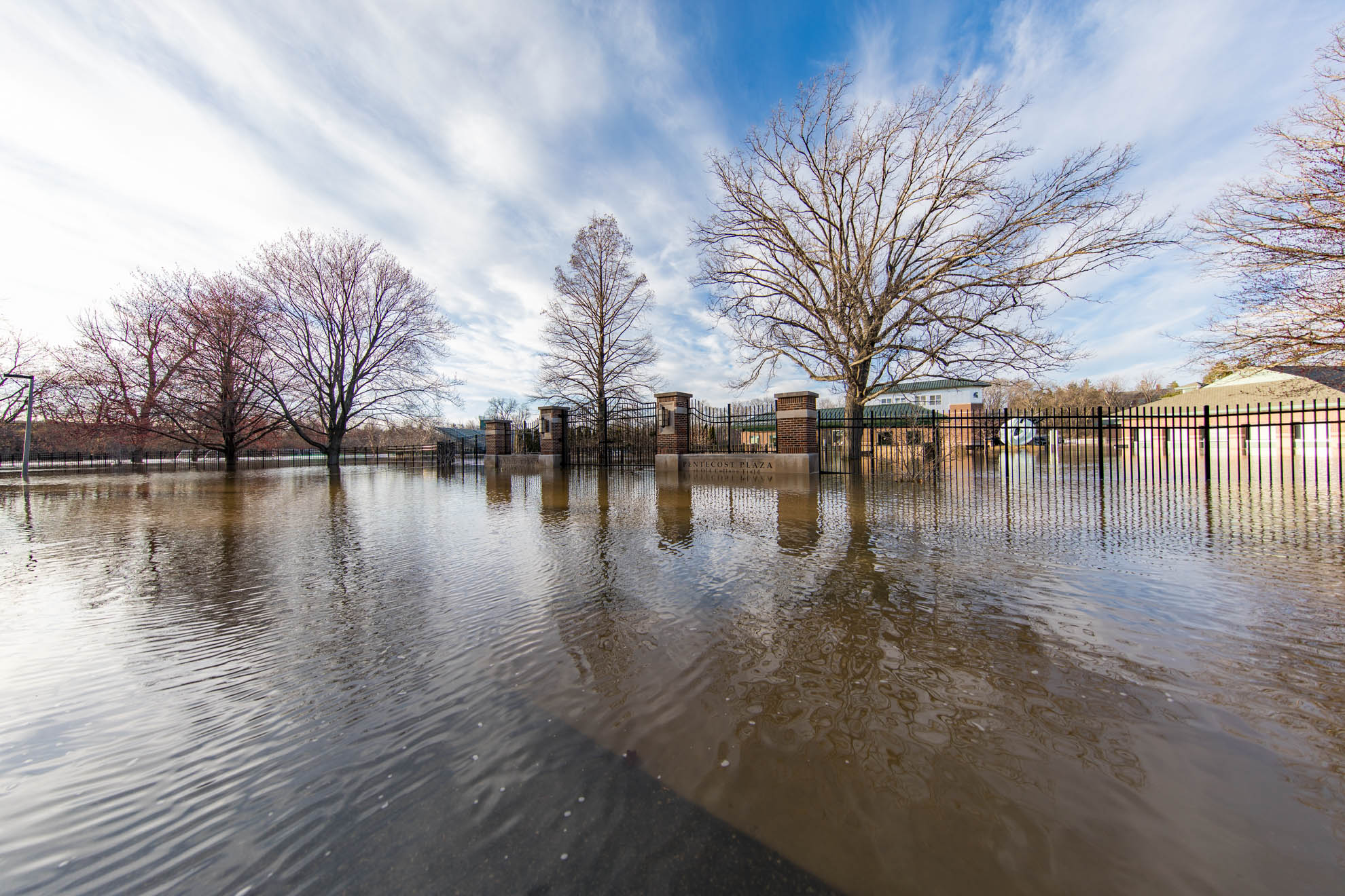
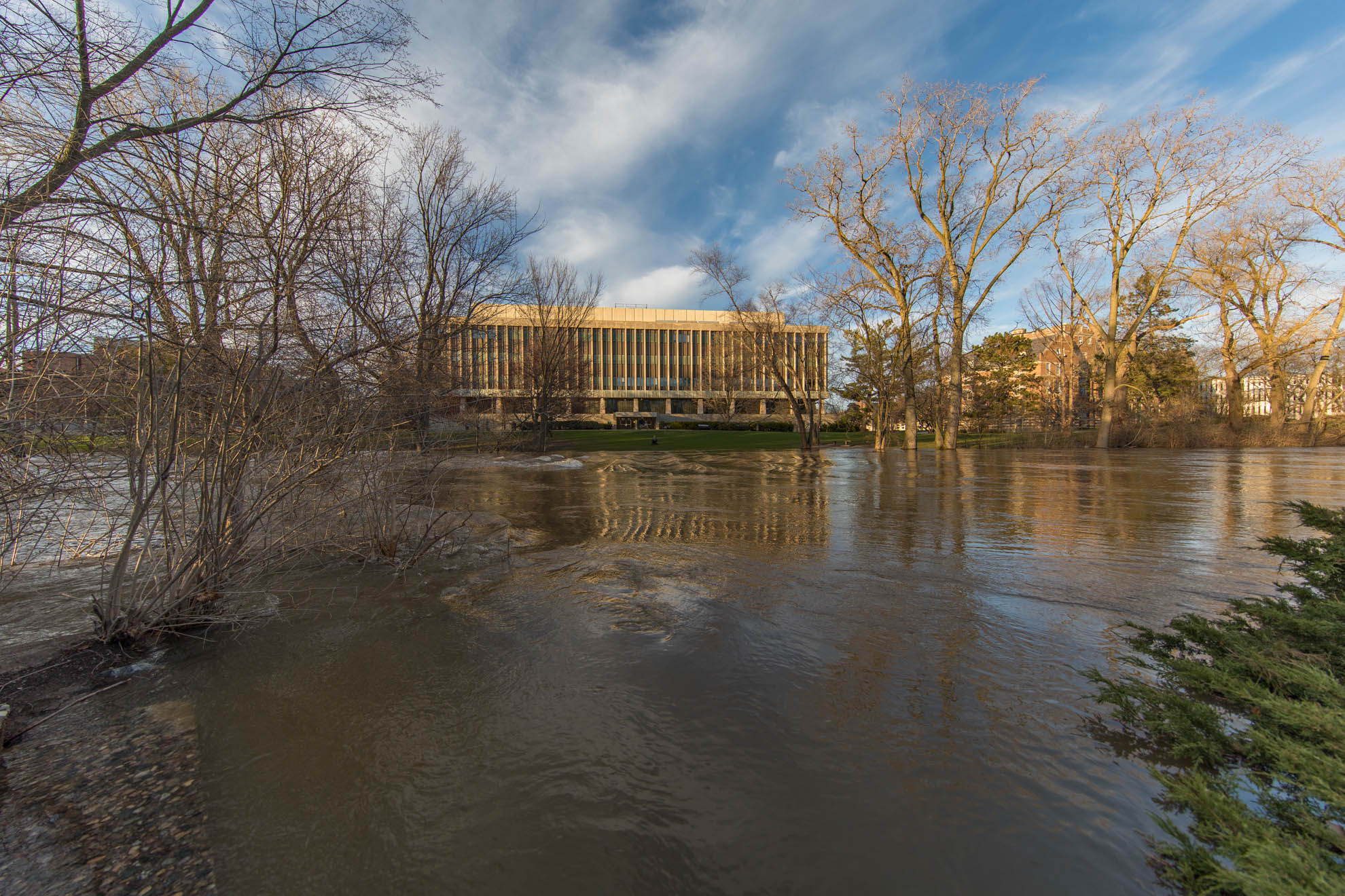
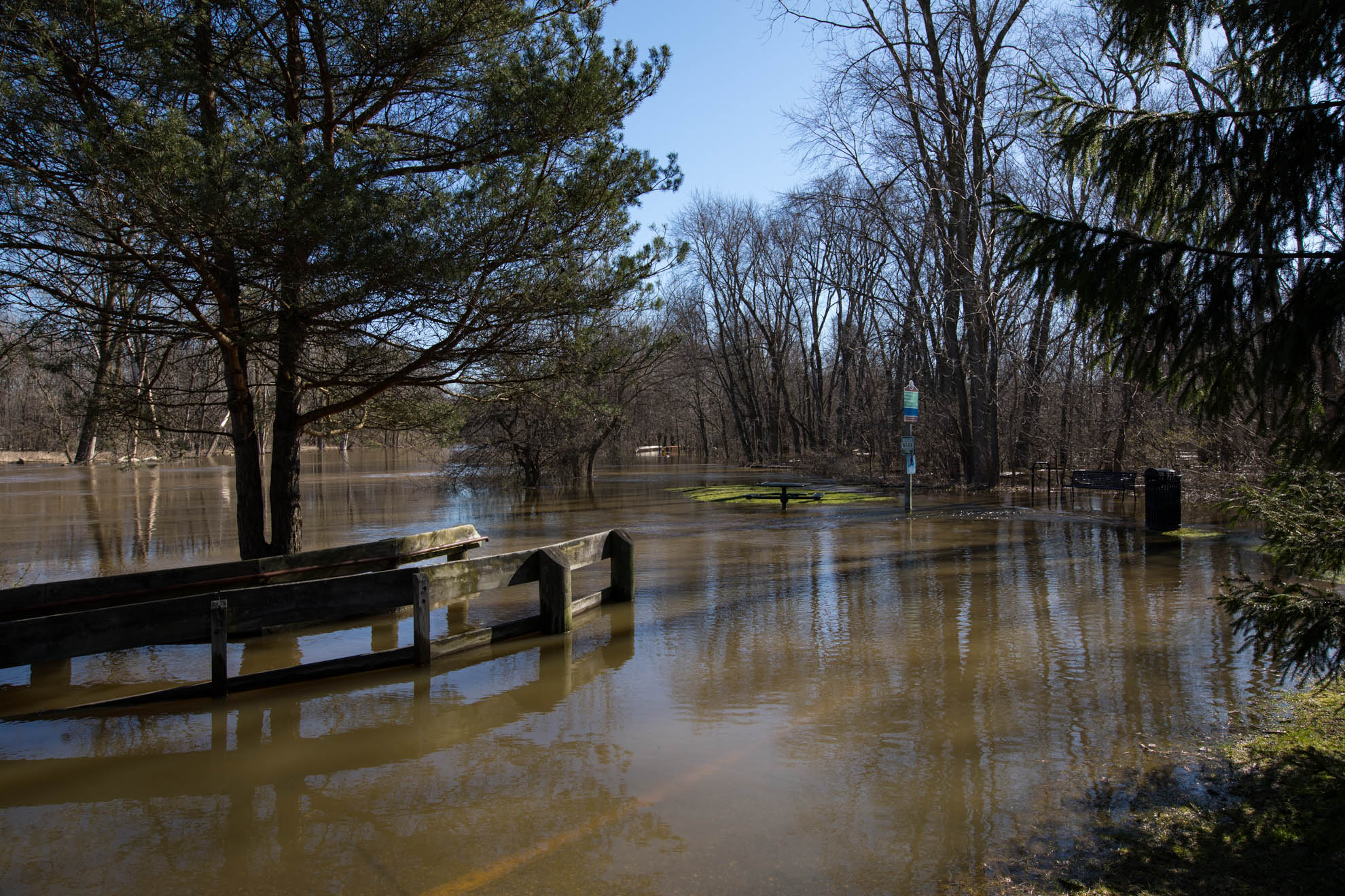
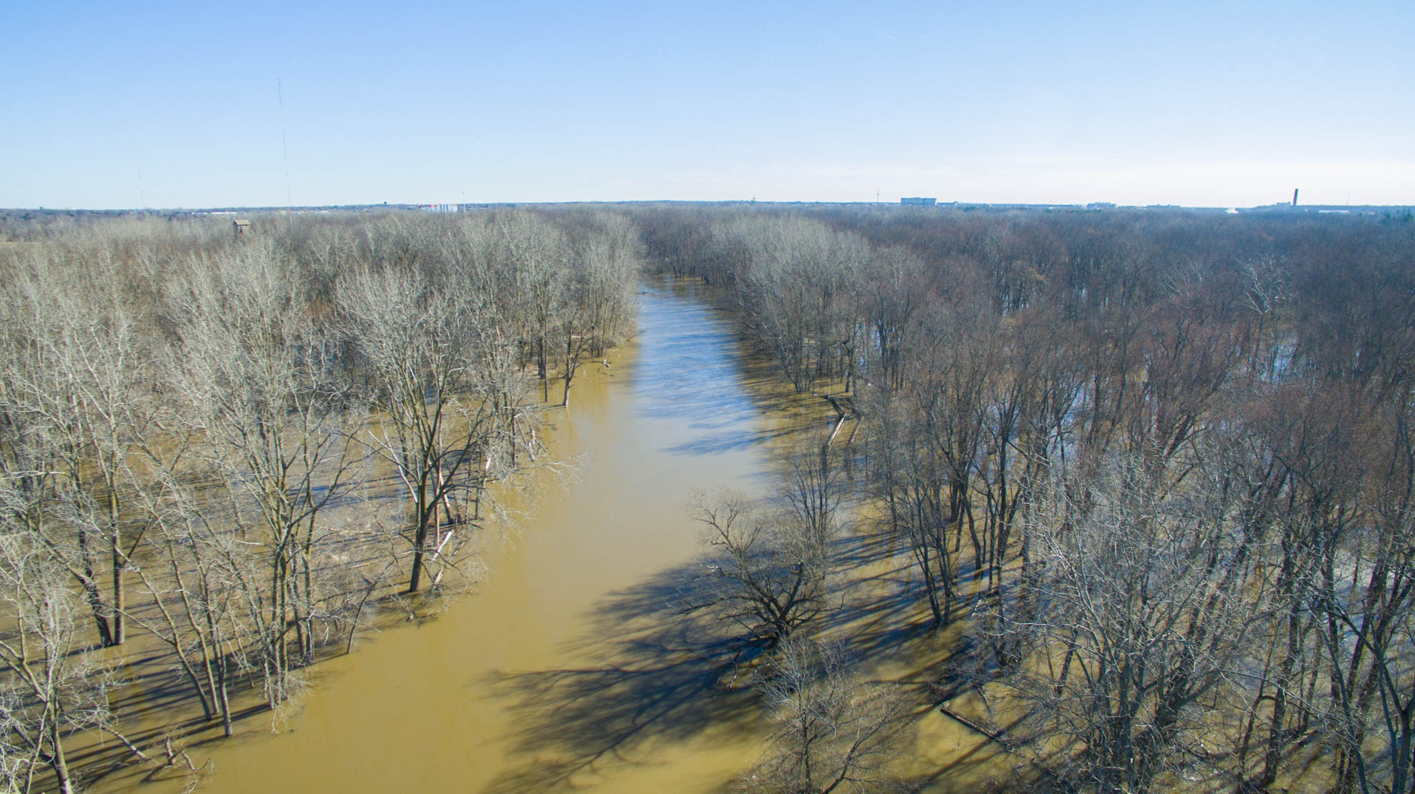
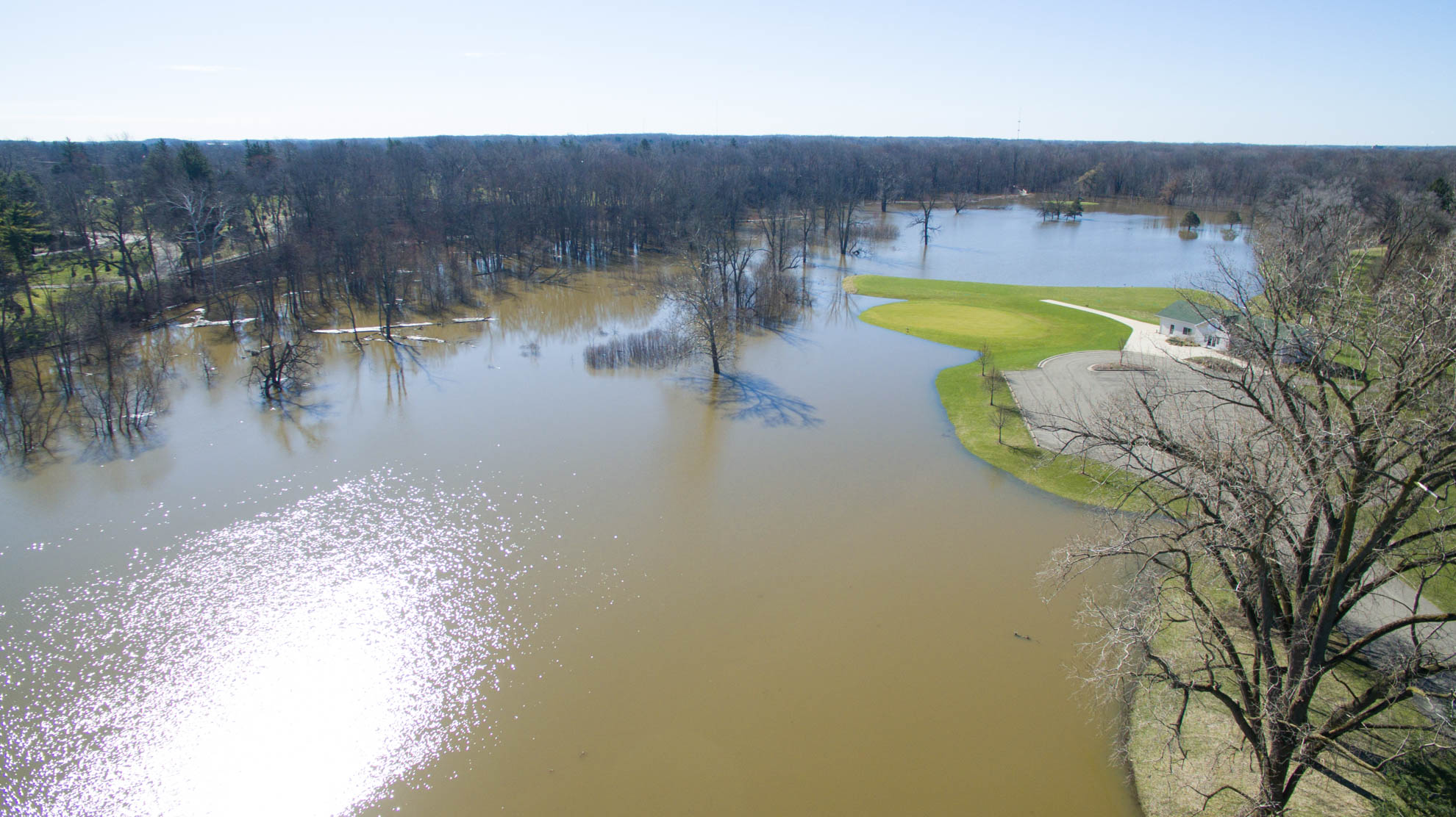
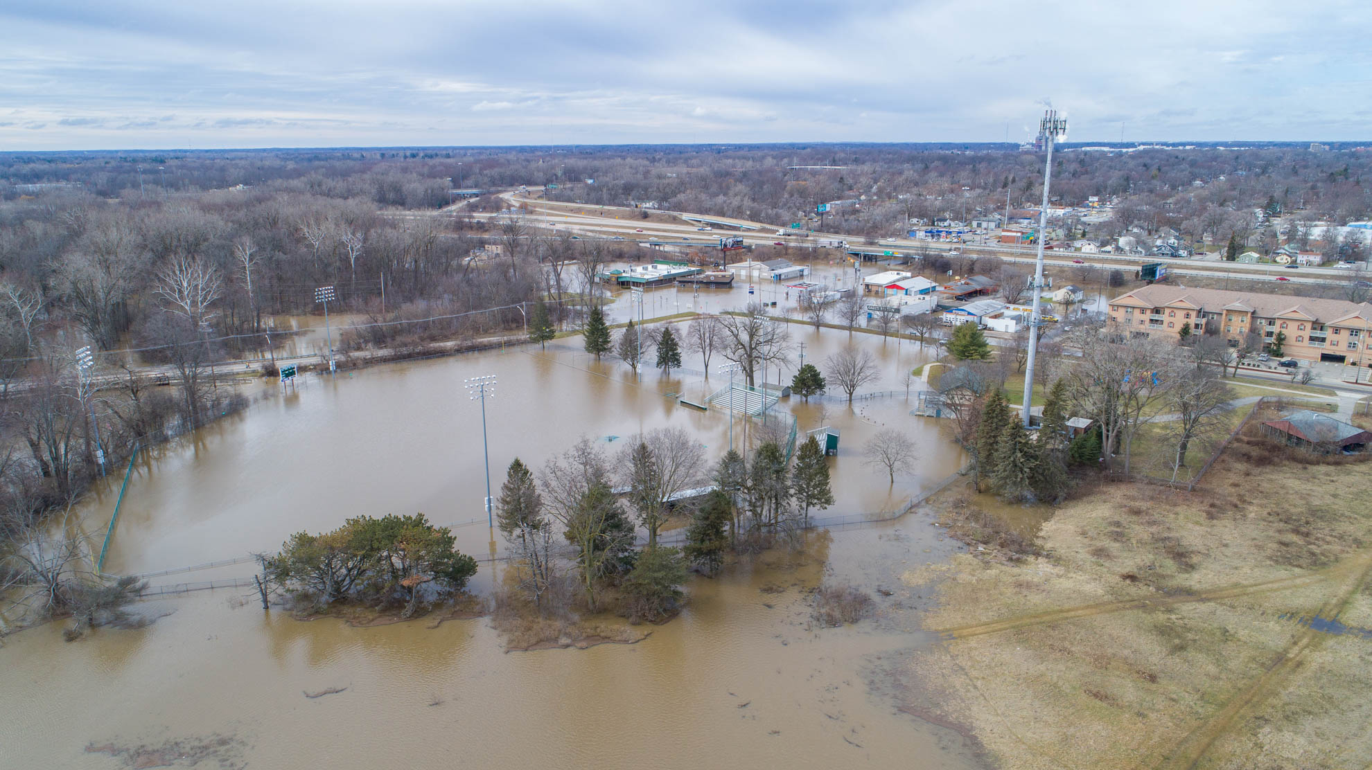
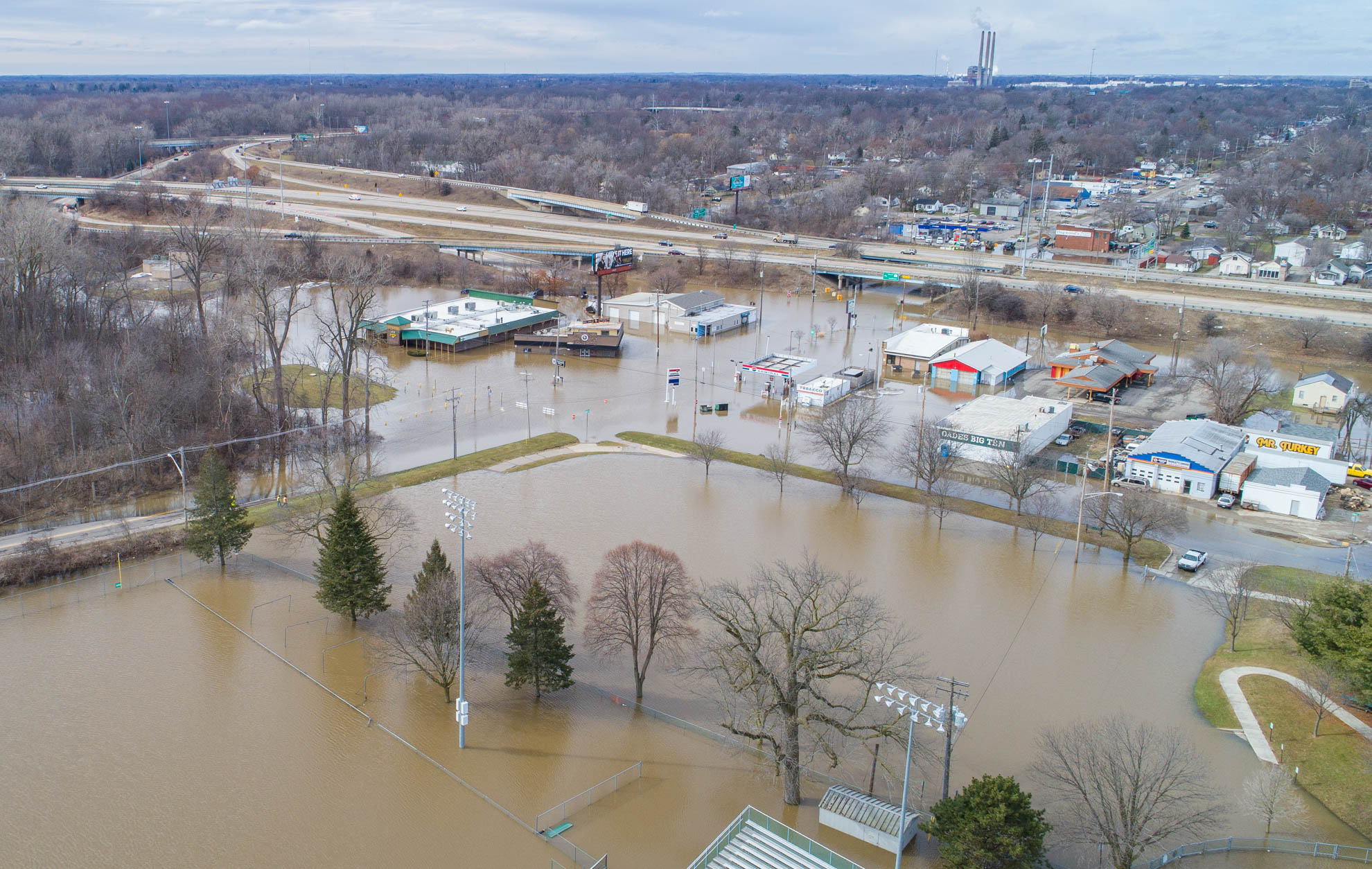
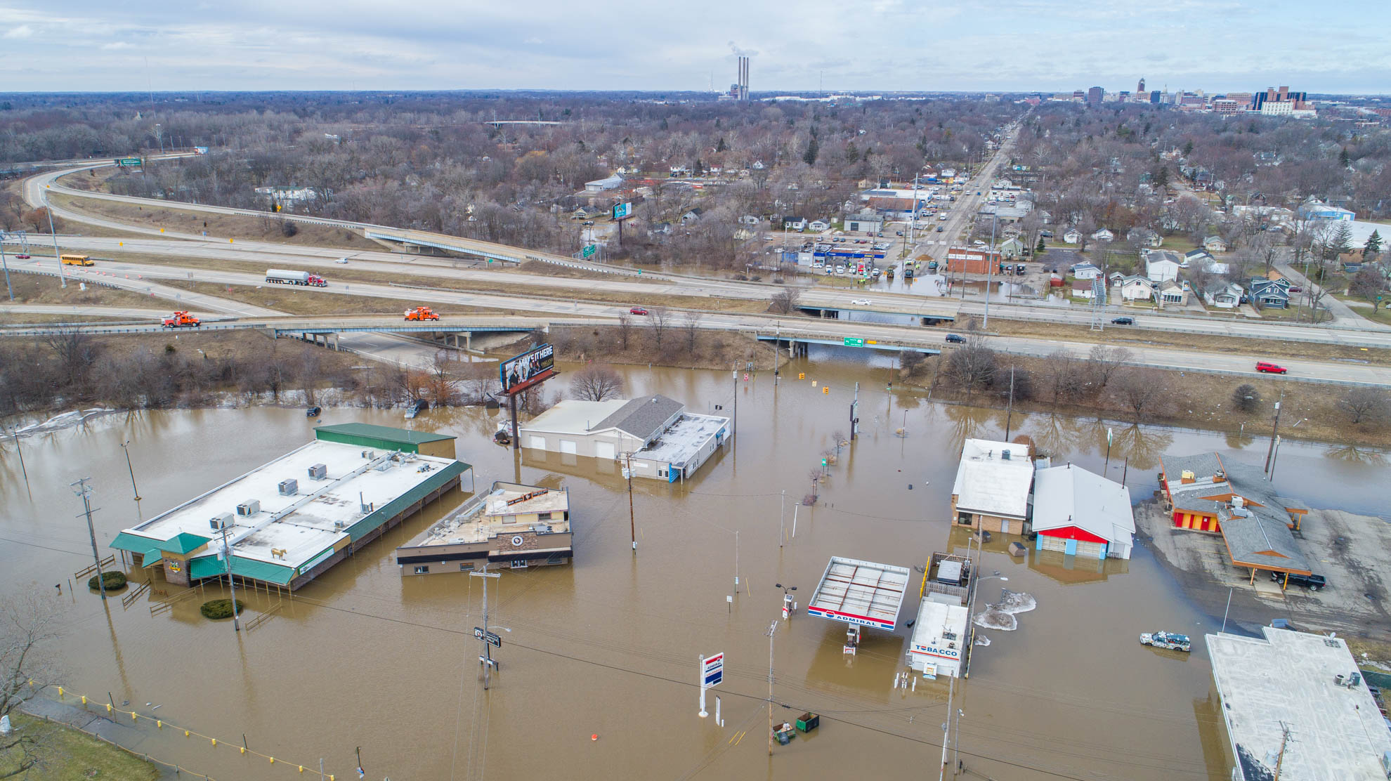
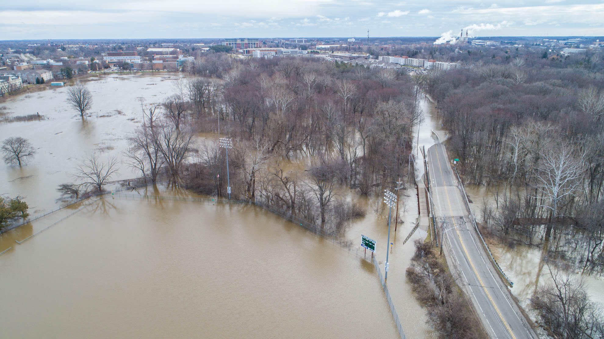
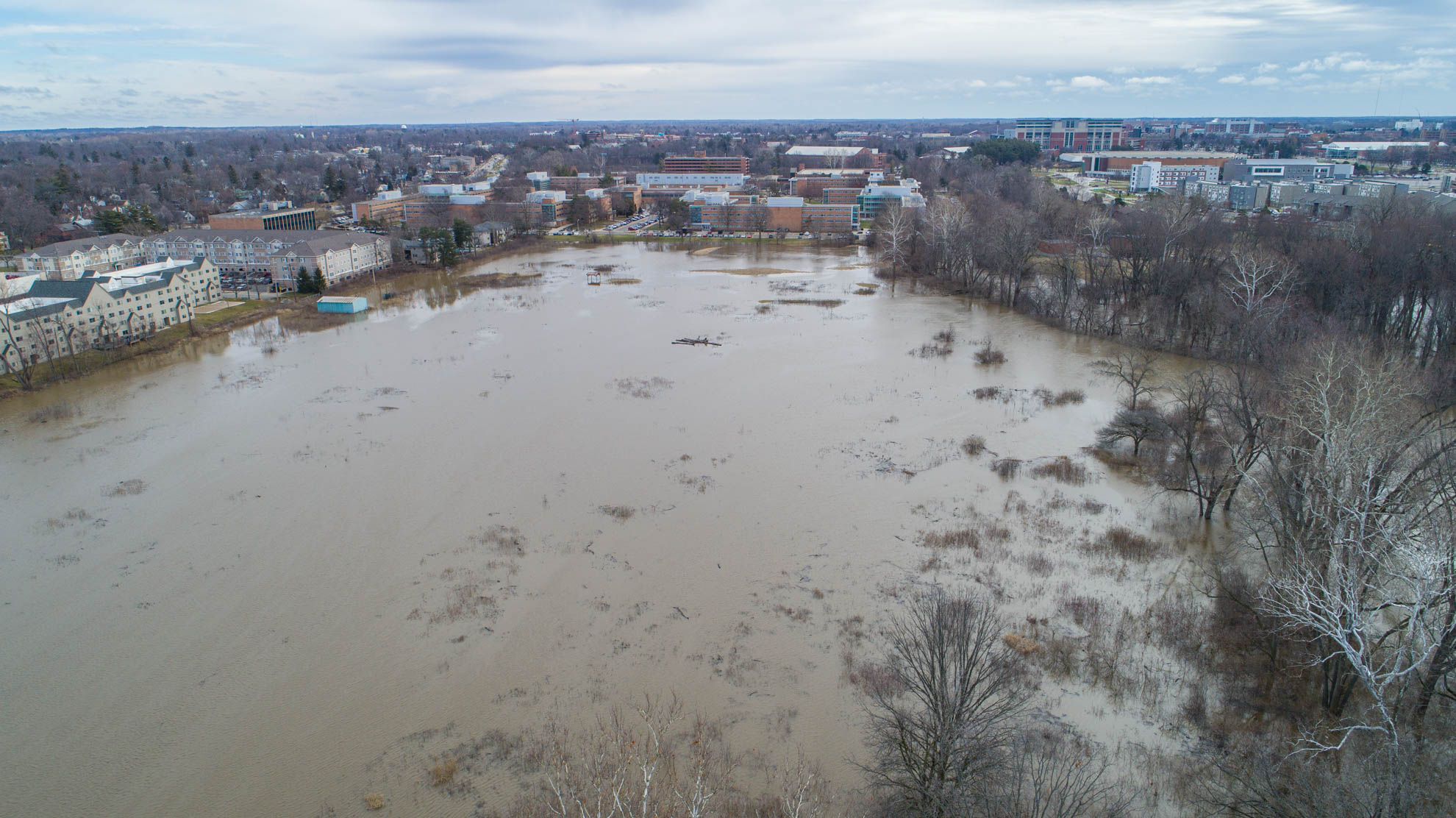
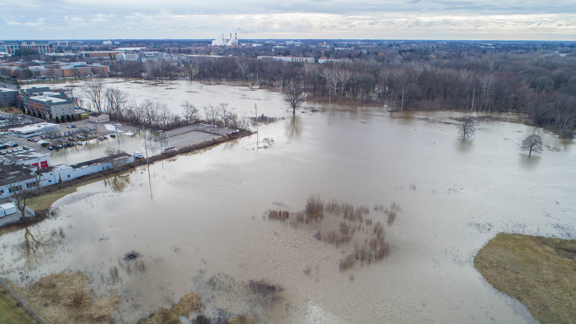
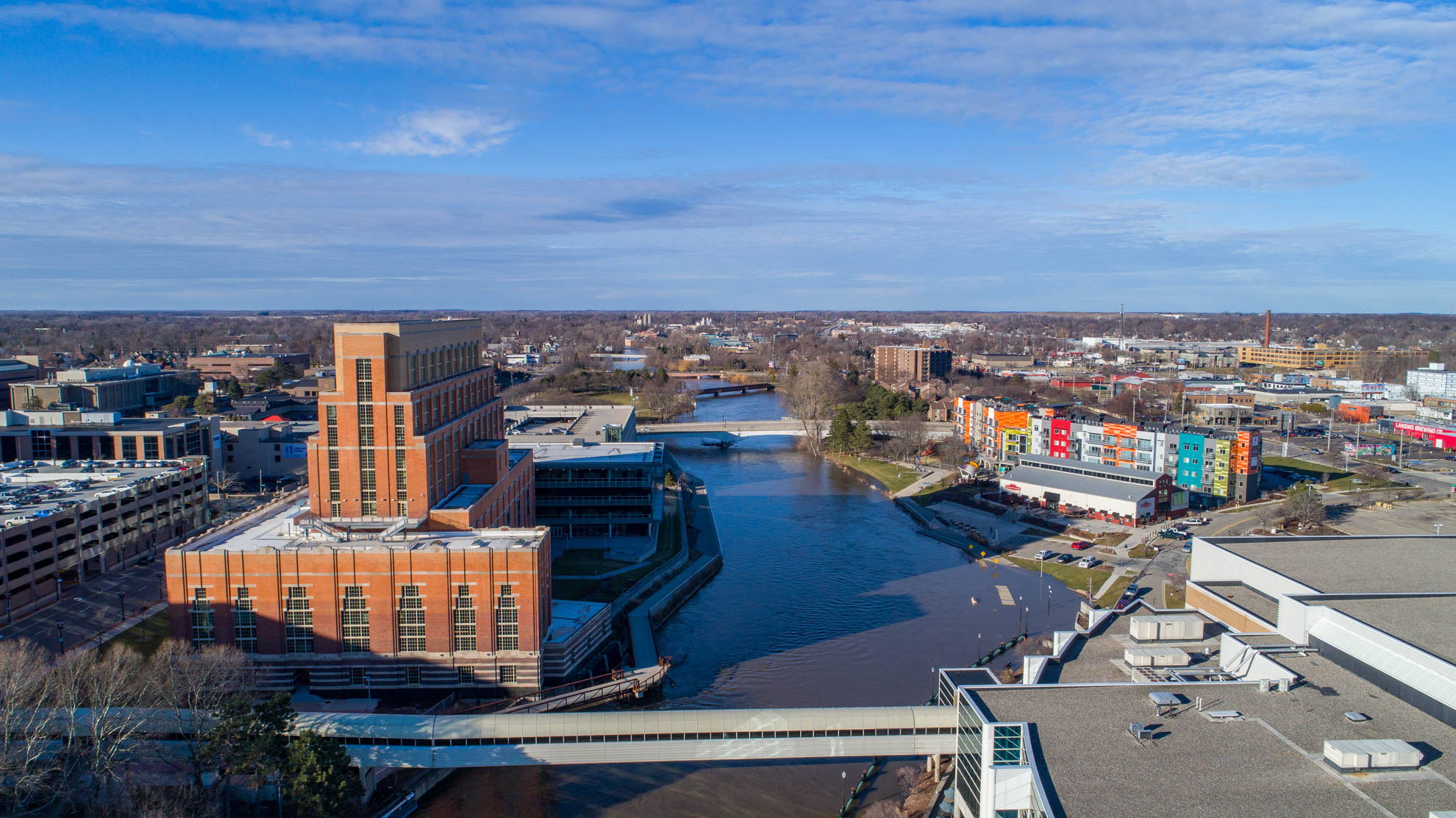
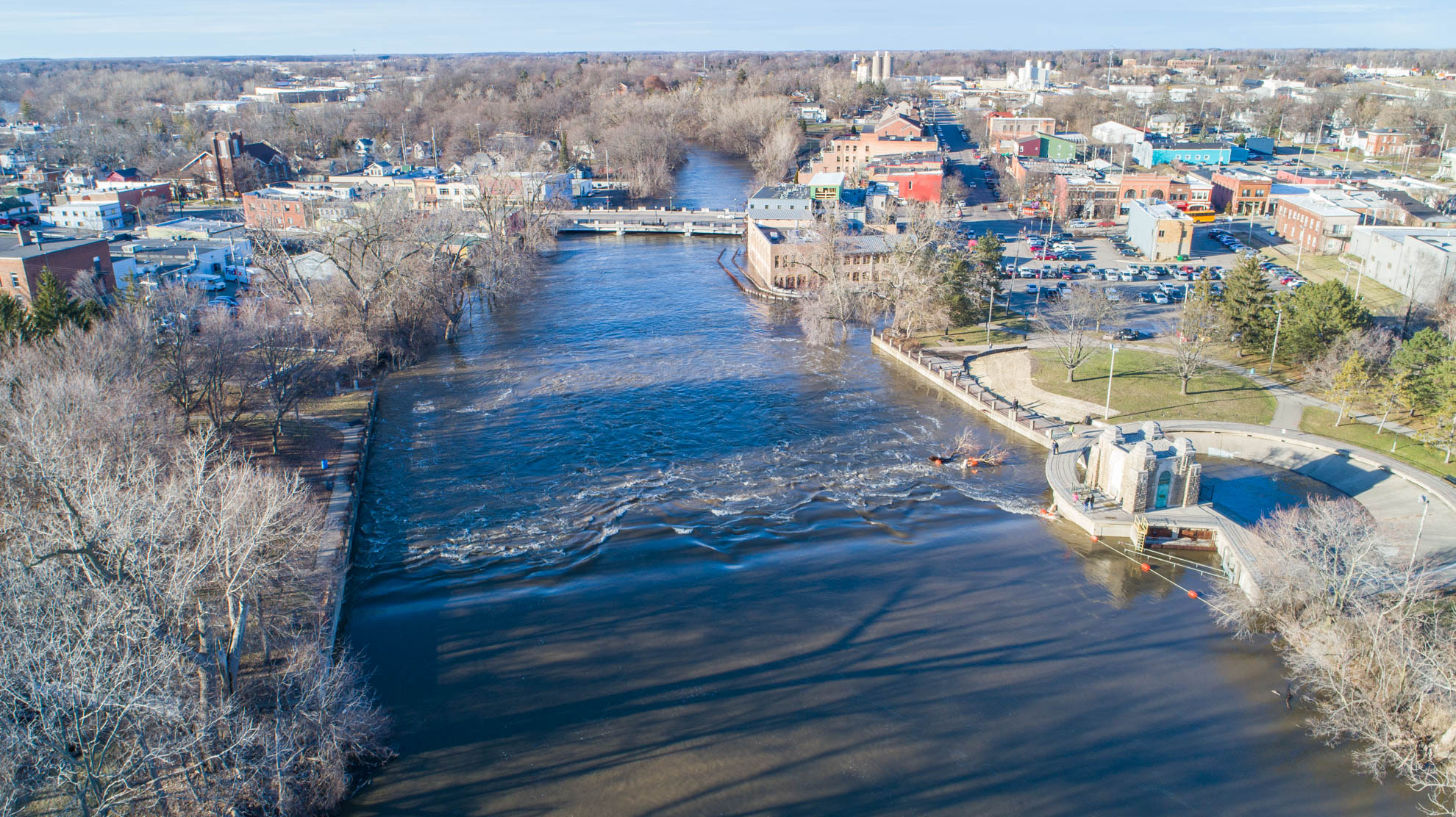
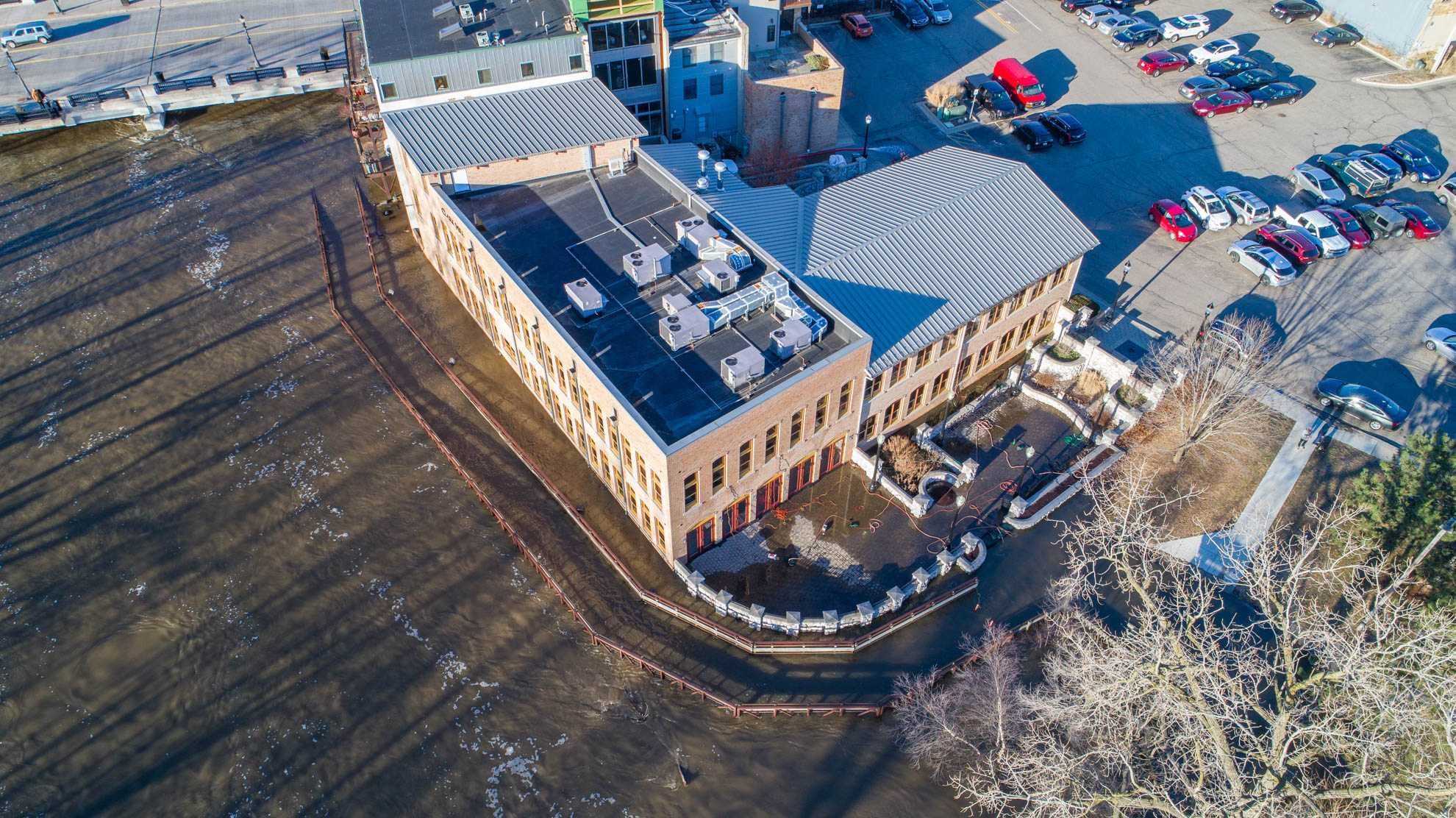
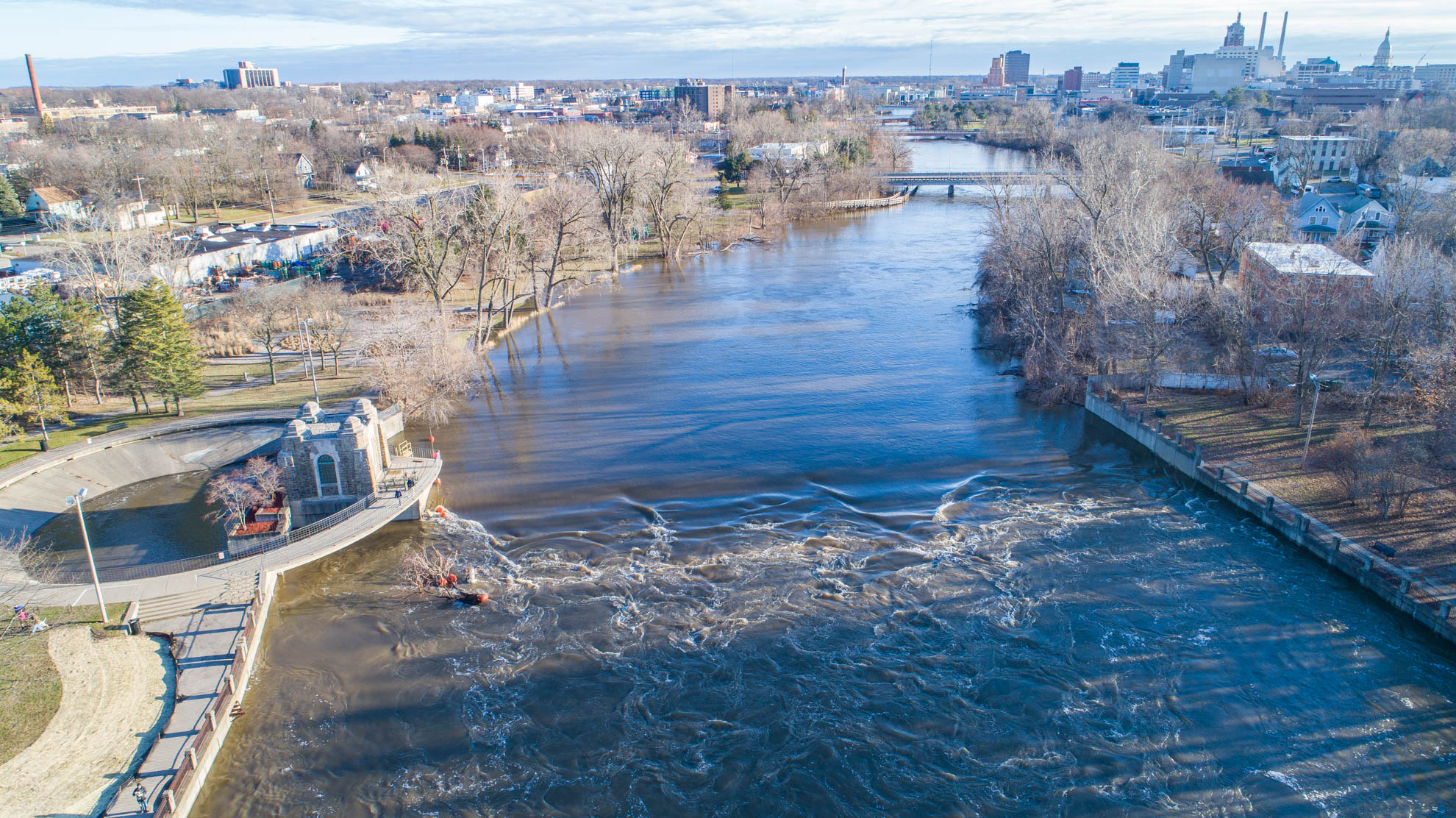
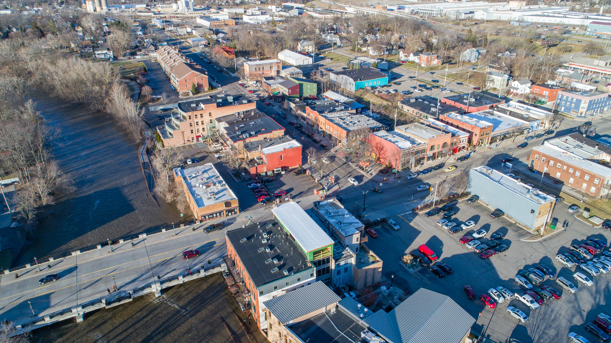
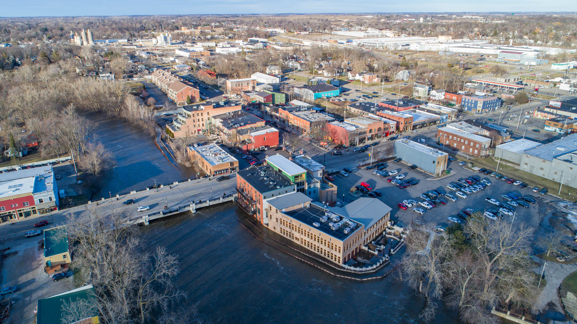
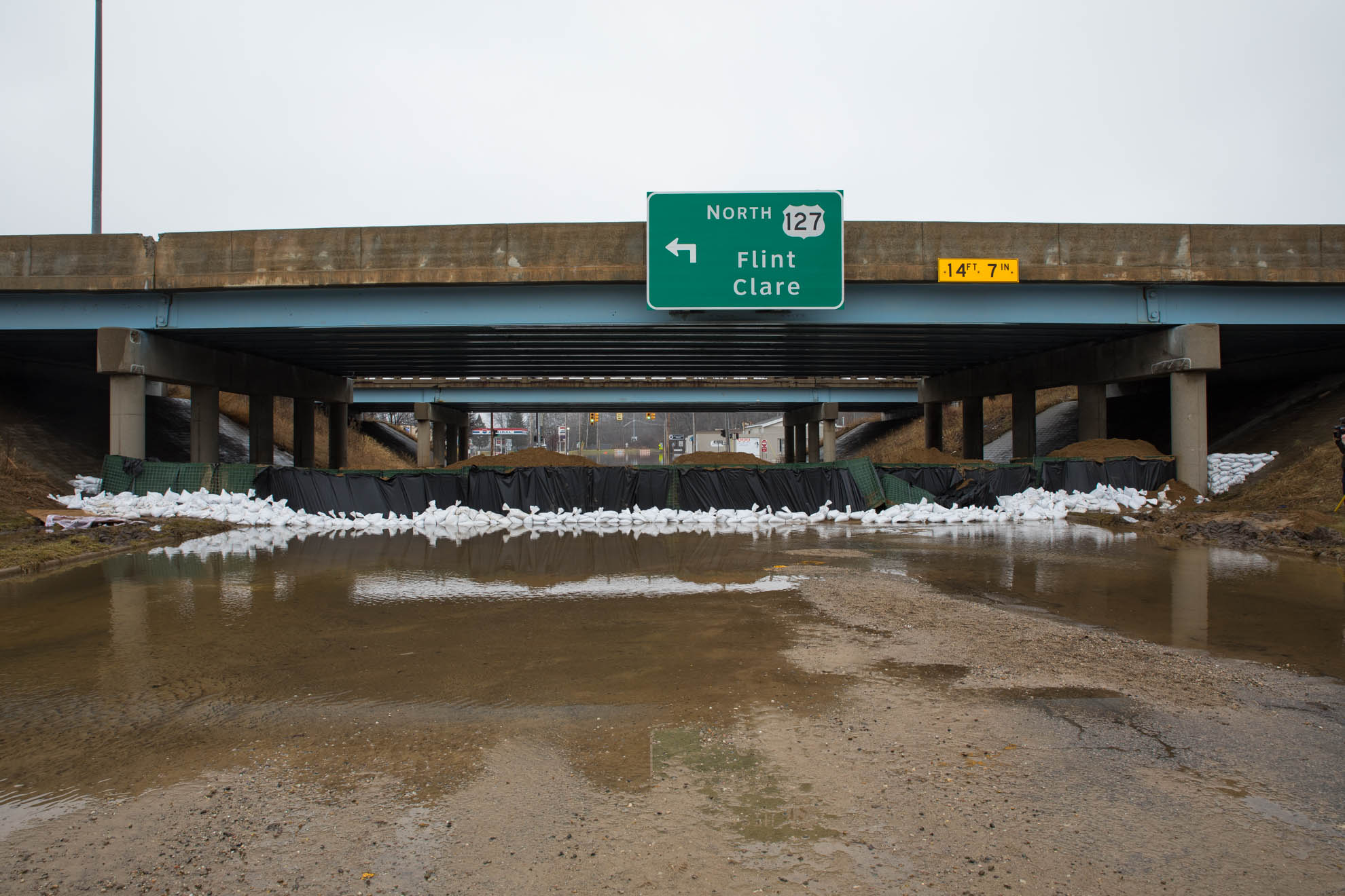
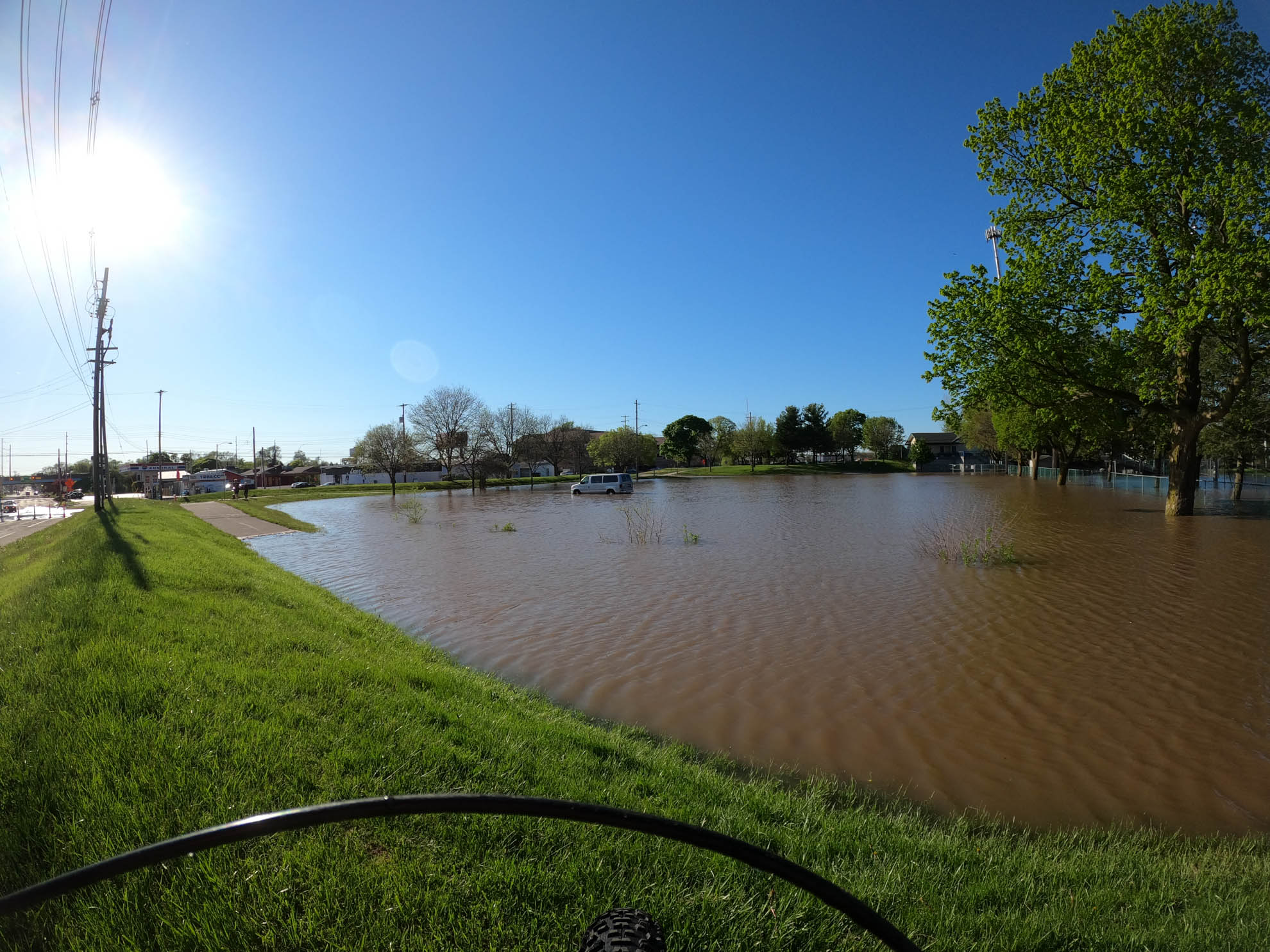
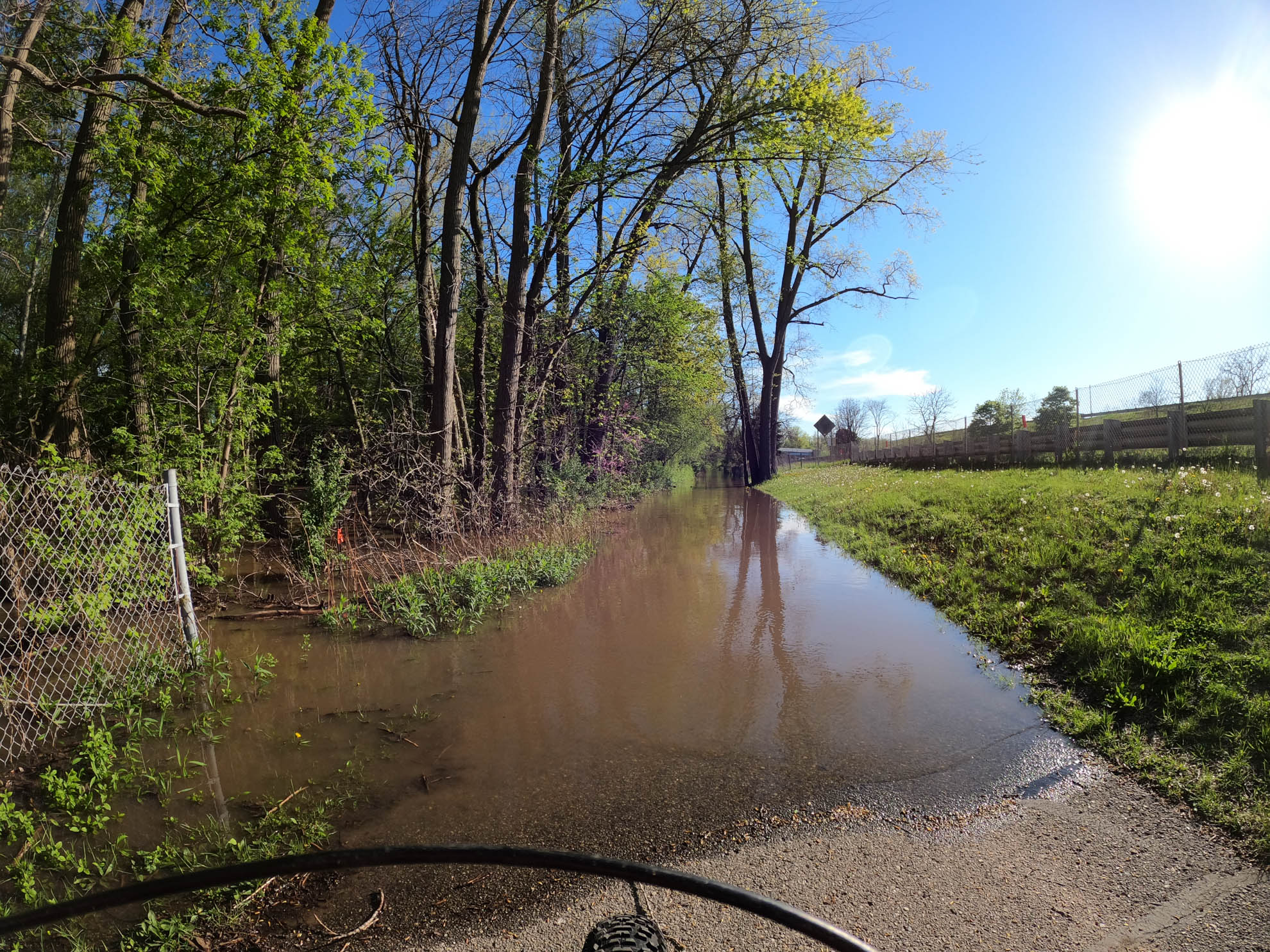
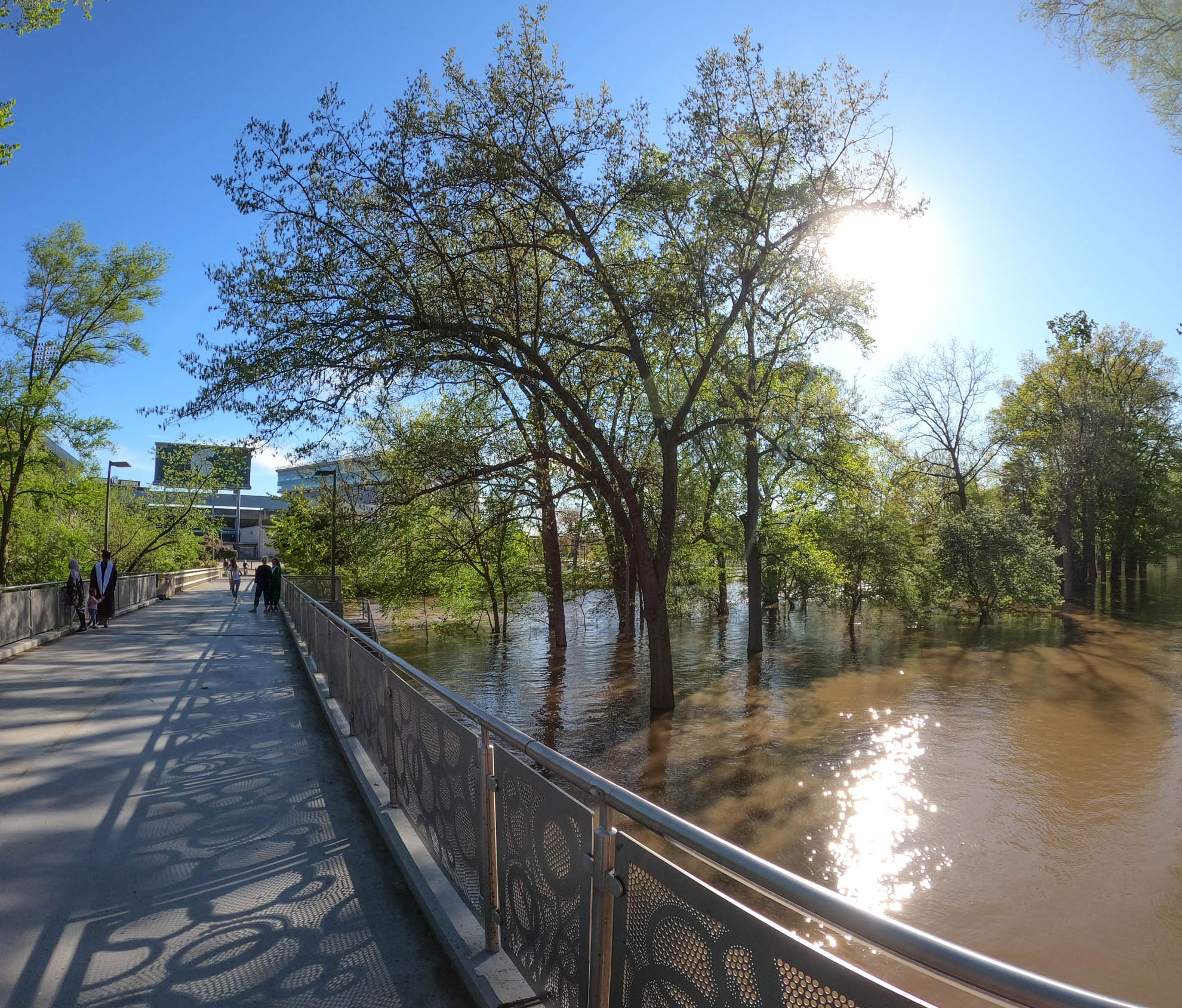
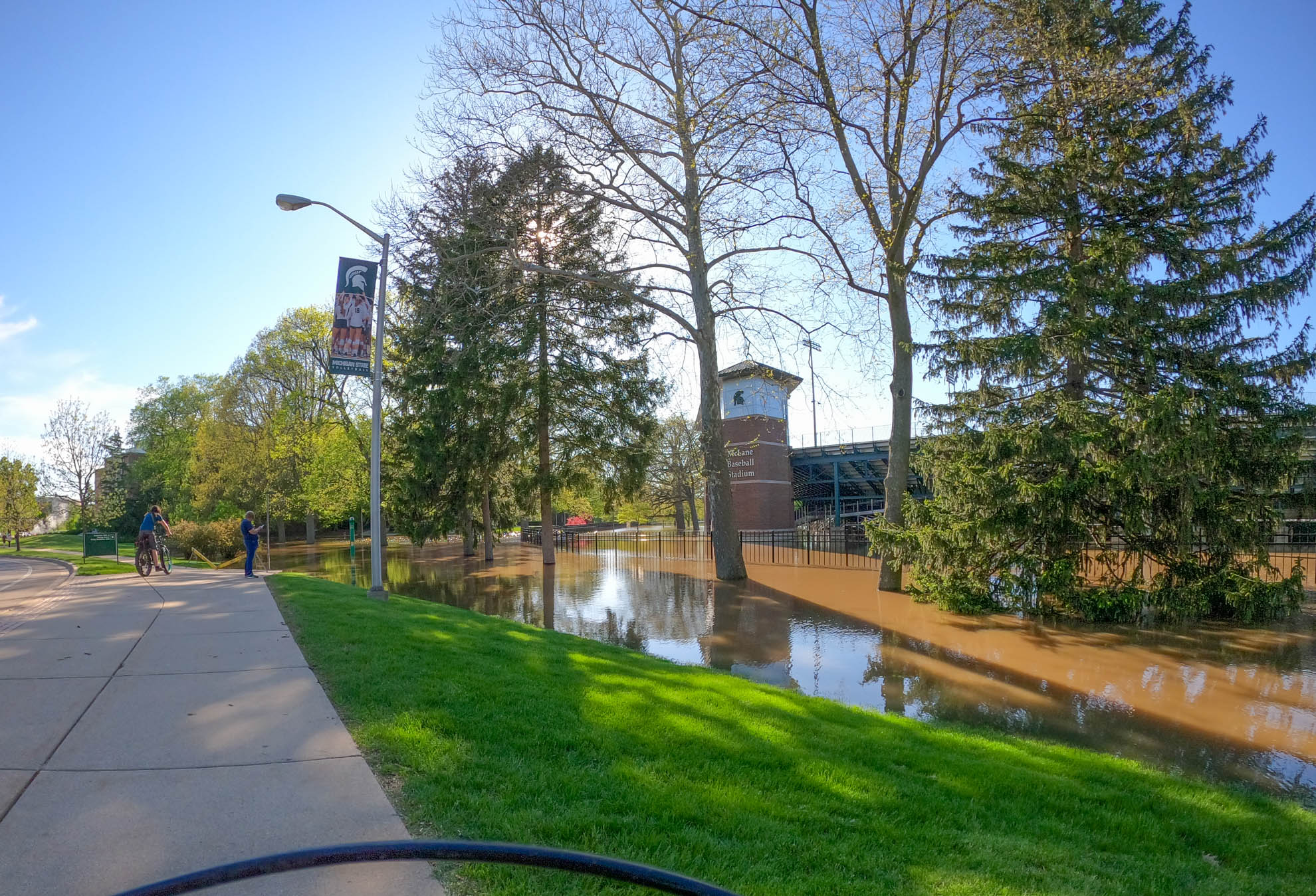
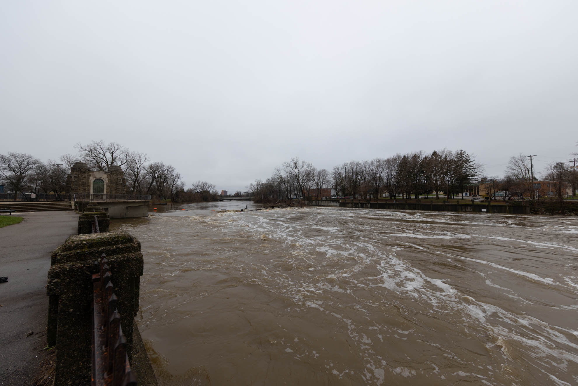
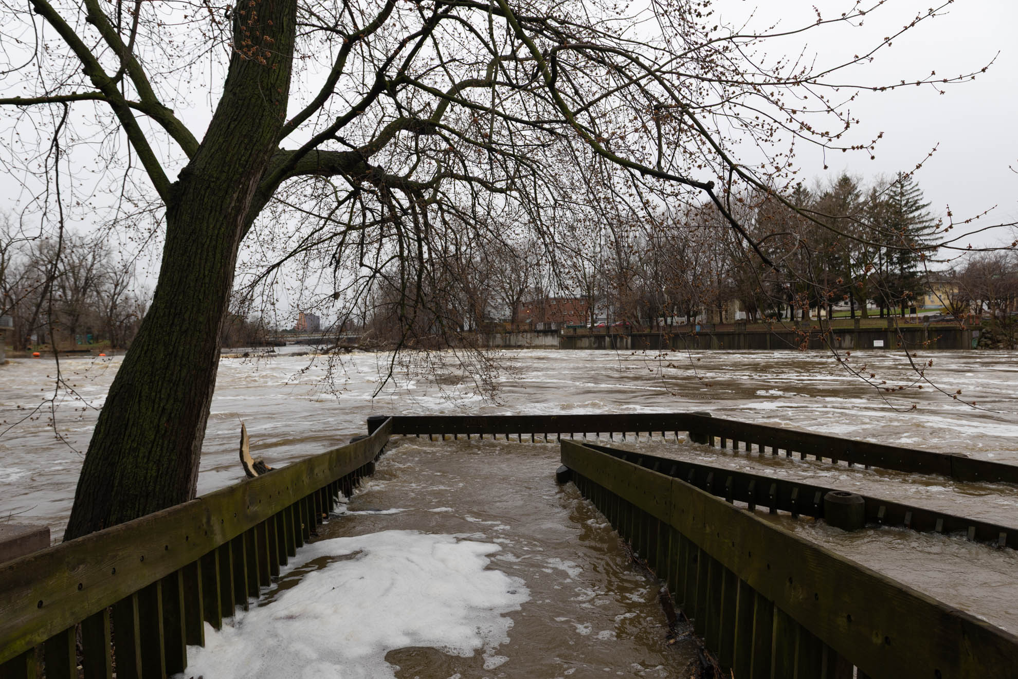
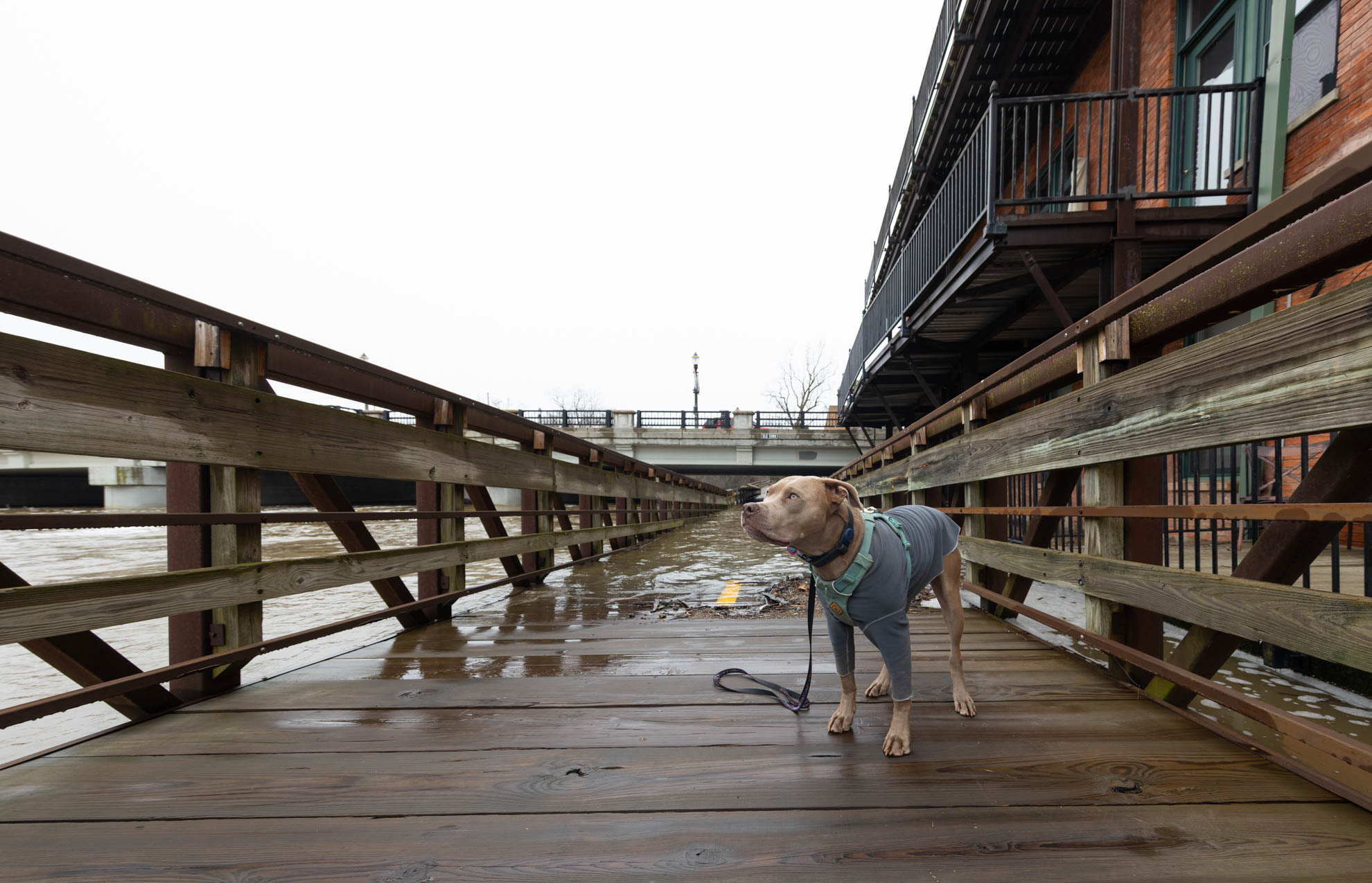
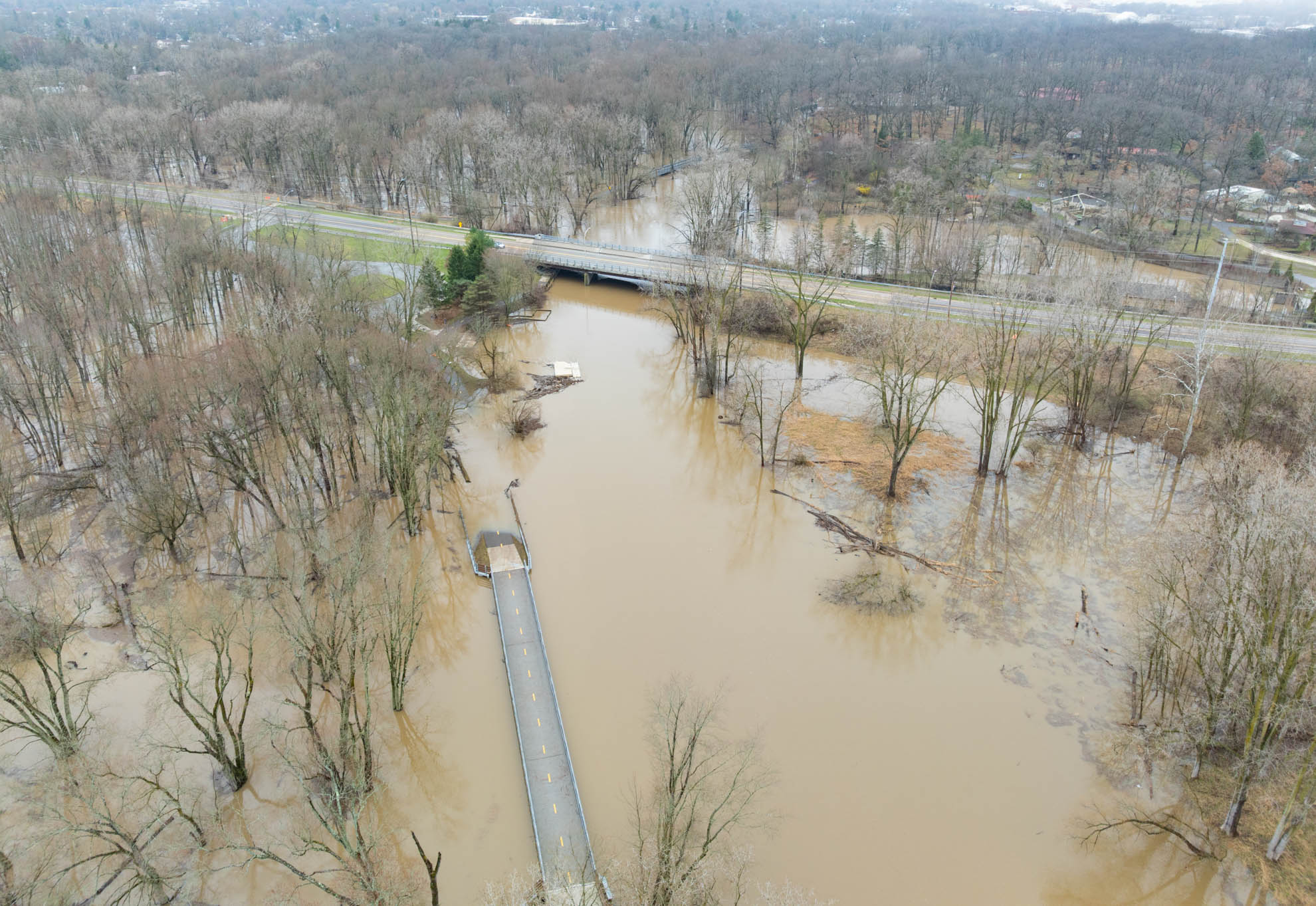
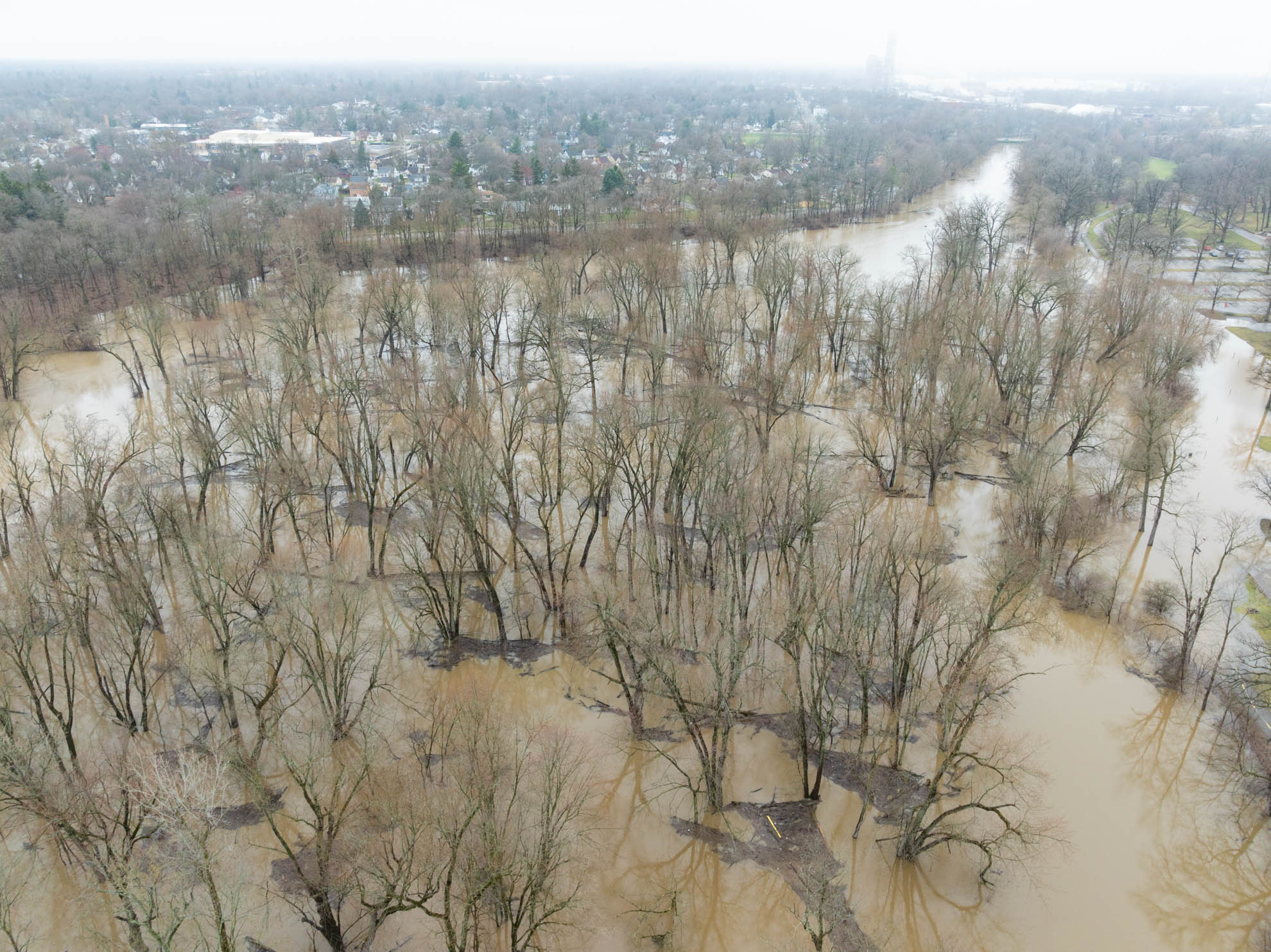
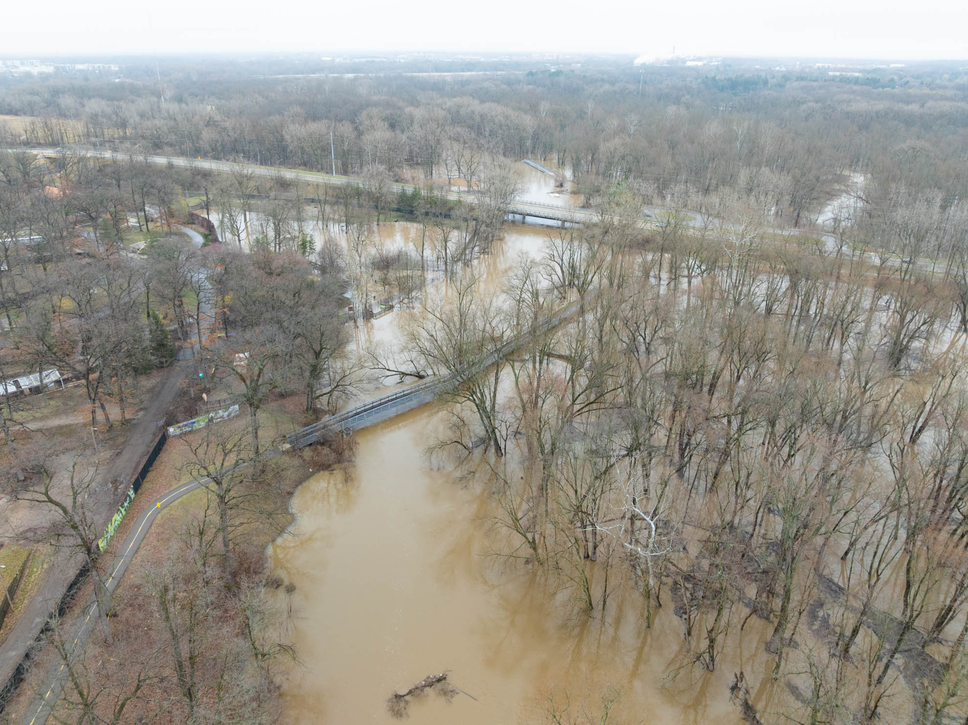
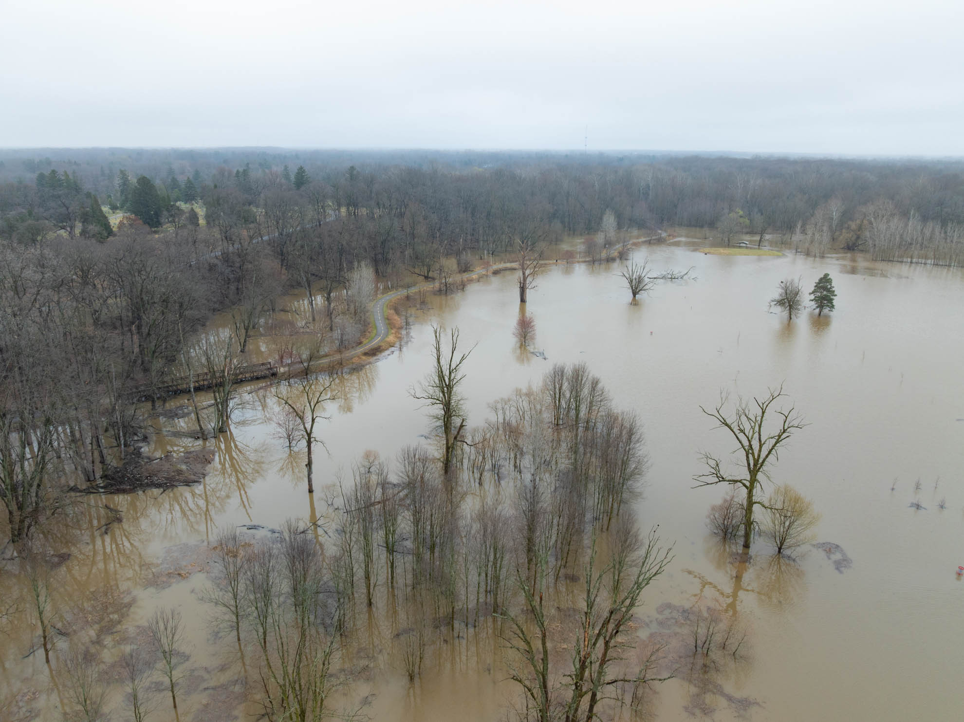
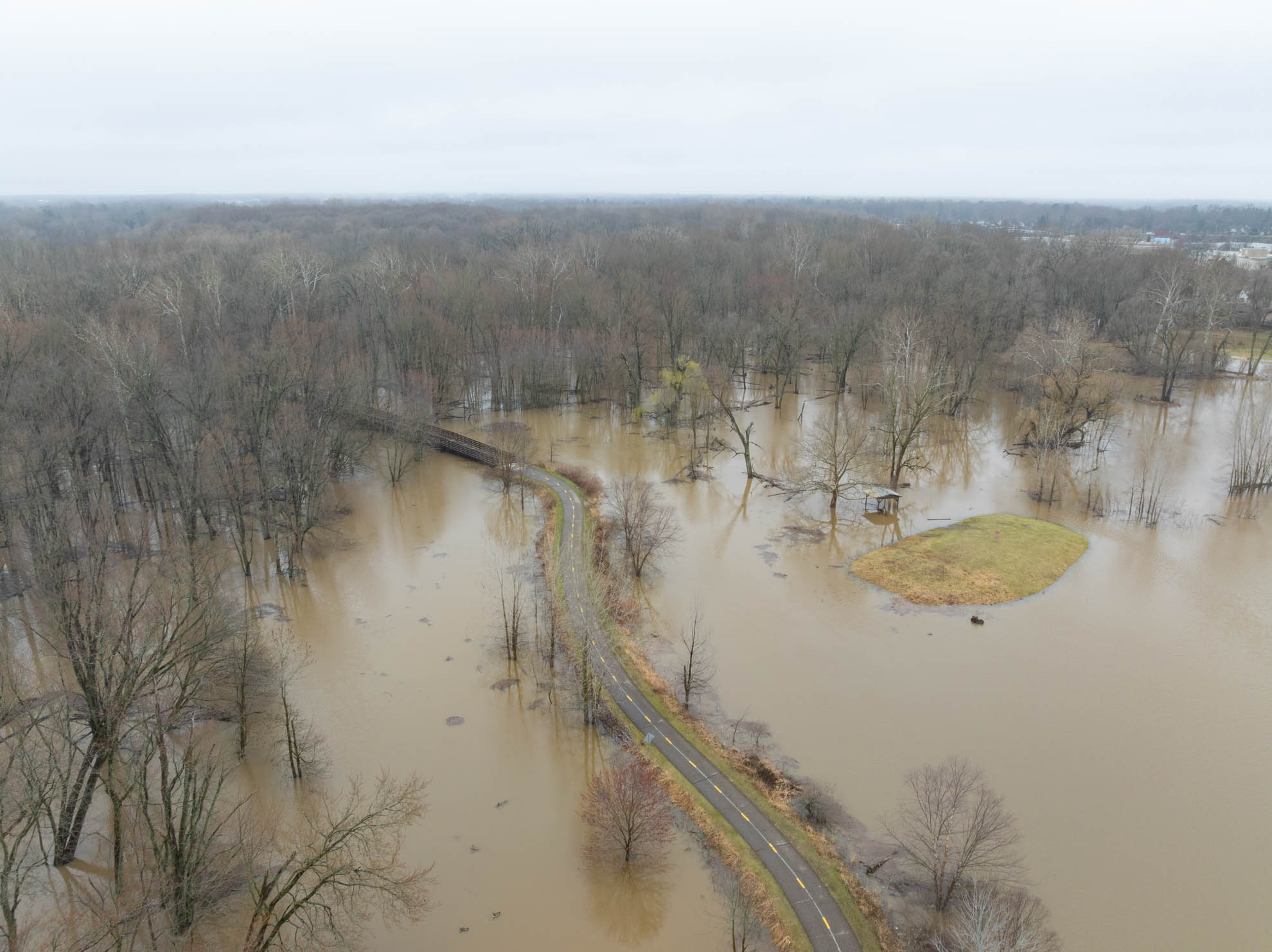
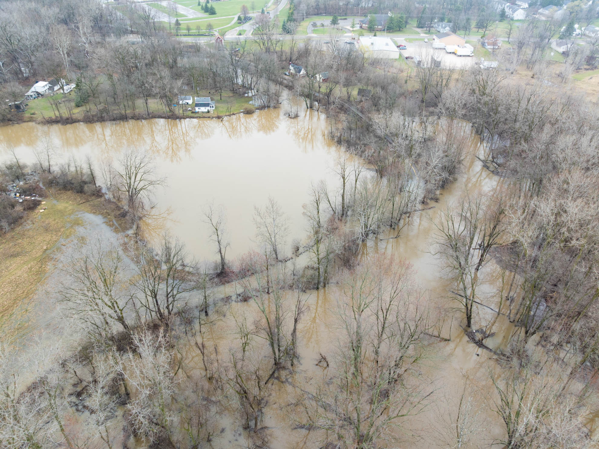
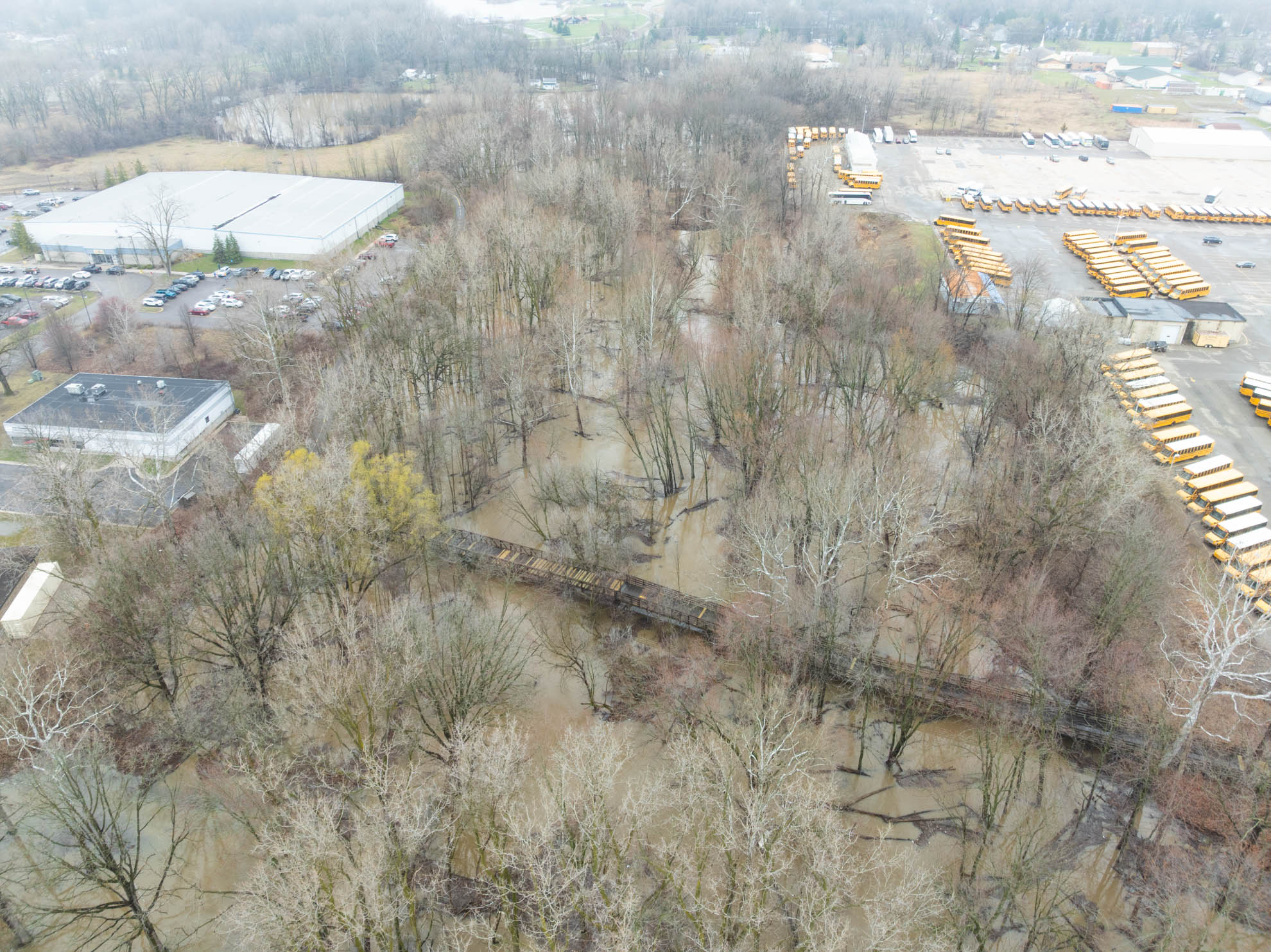
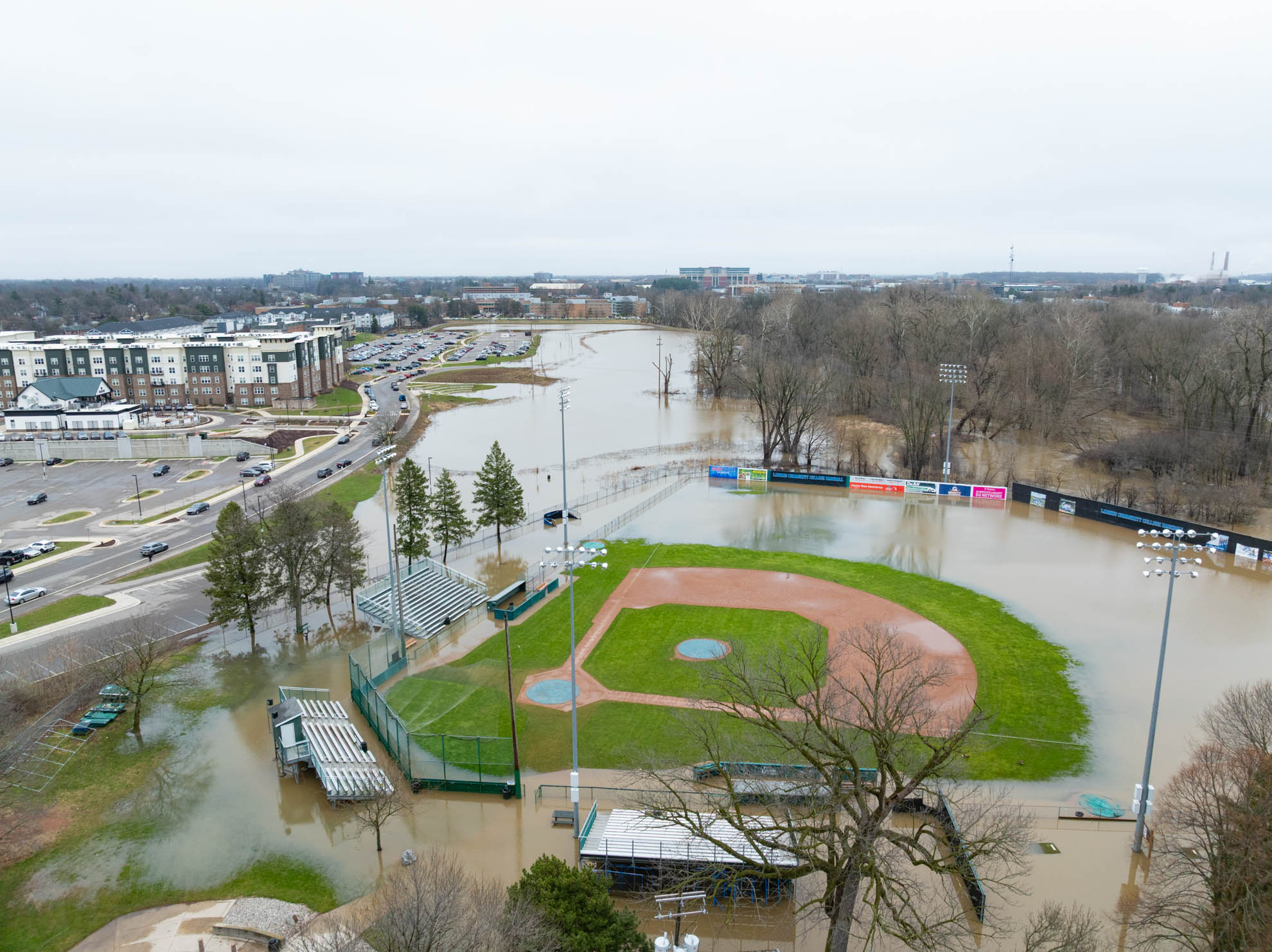
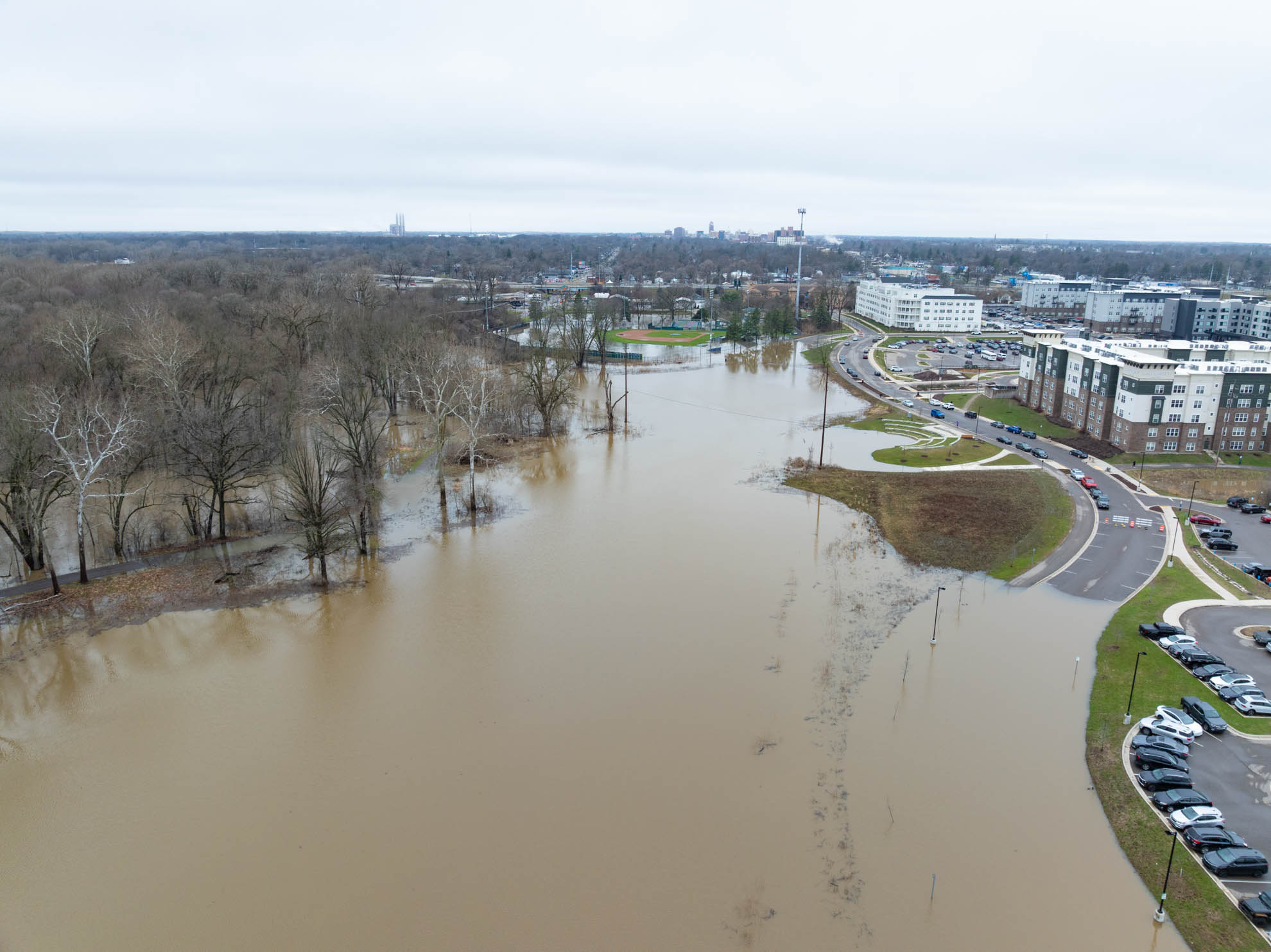
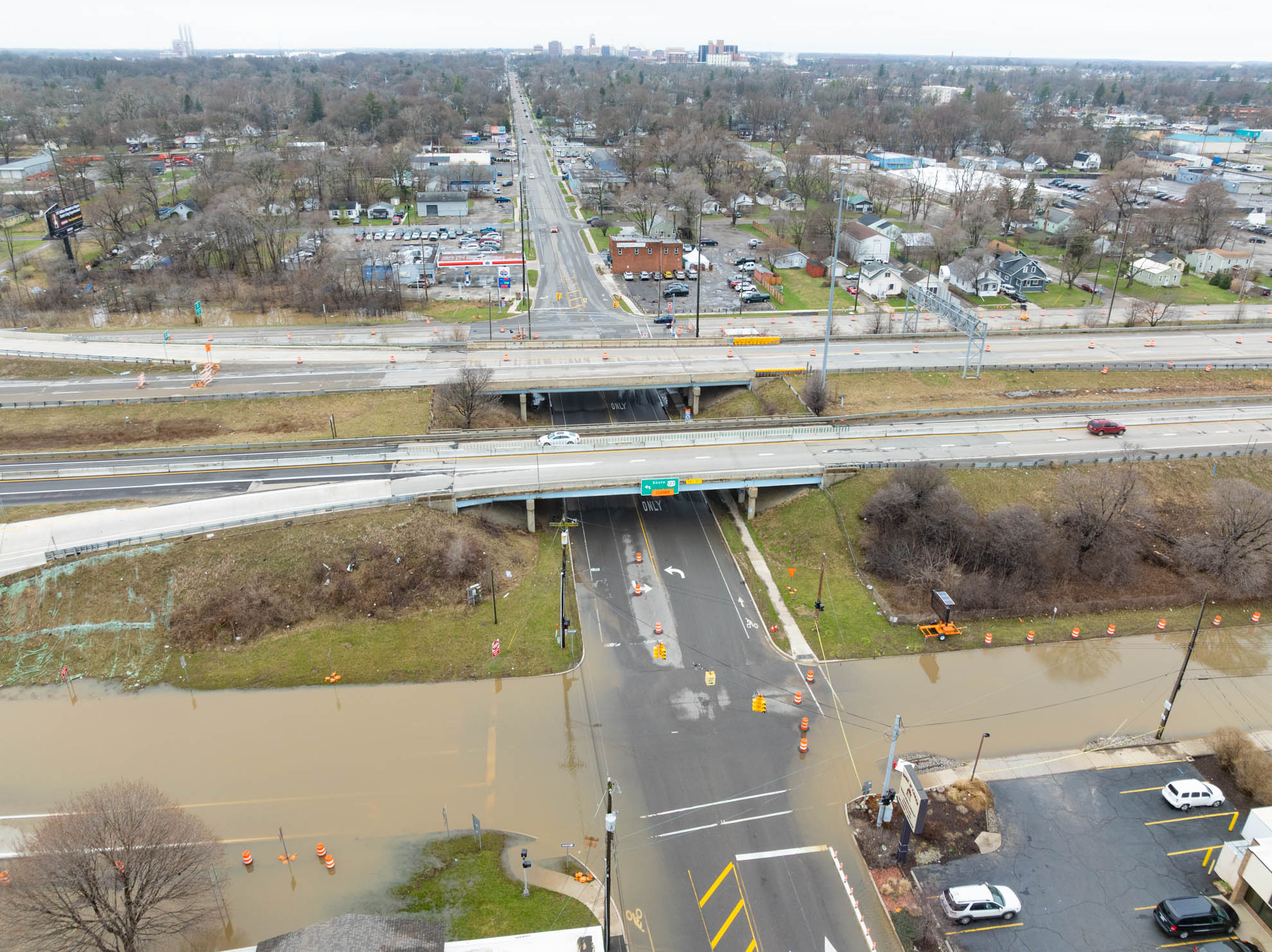
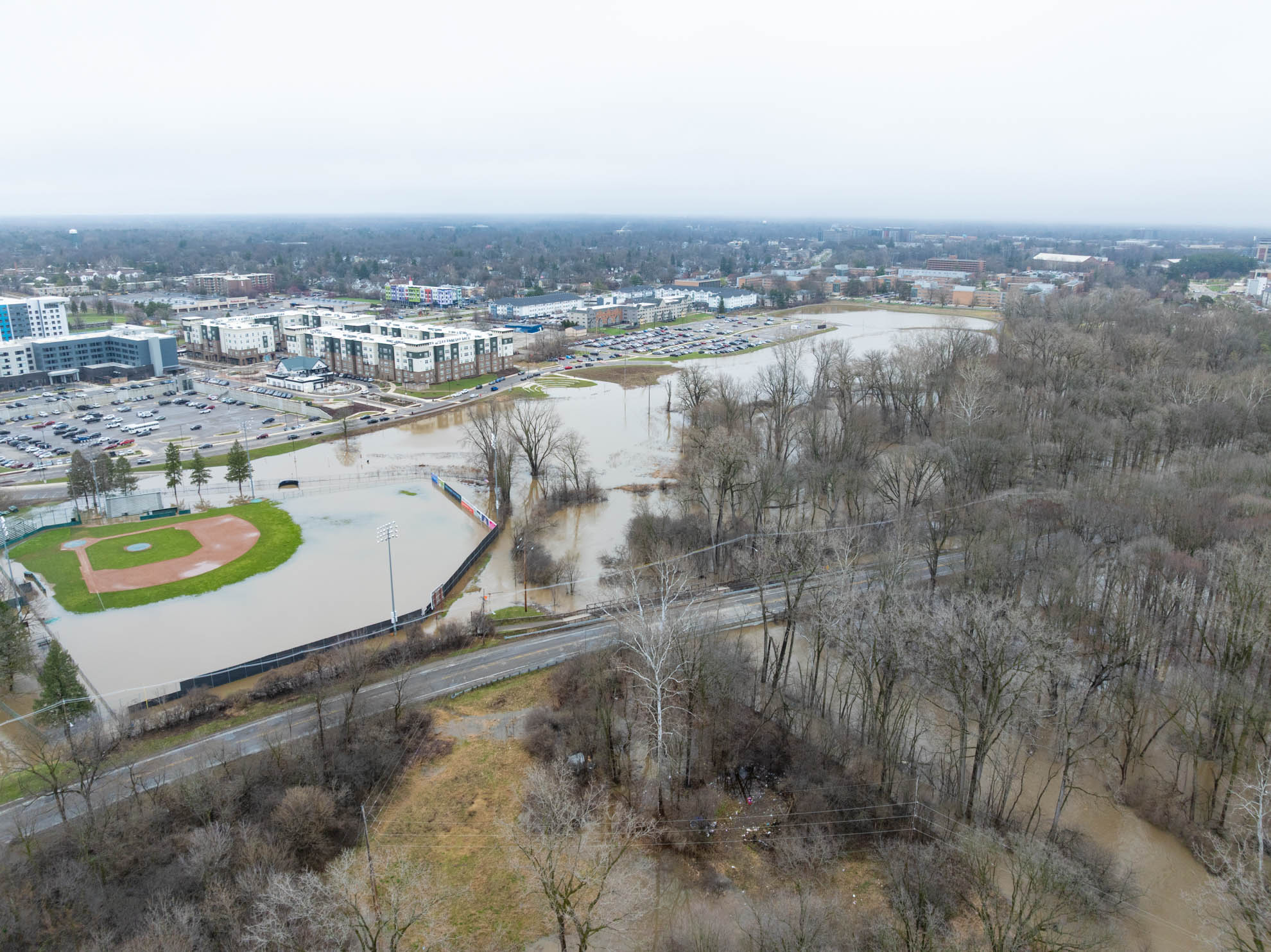
Flood photos over the years
Click any image to start a slide show
2008
2008
2008
2011
2011
2011
2011
2017
2017
2017
2017
2017
2017
2017
2017
2017
2017
2017
2017
2017
2017
2017
2018
2018
2018
2018
2018
2018
2018
2018
2018
2018
2018
2018
2018
2018
2020
2020
2020
2020
2025
2025
2025
2025
2025
2025
2025
2025
2025
2025
2025
2025
2025
2025